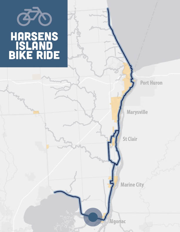
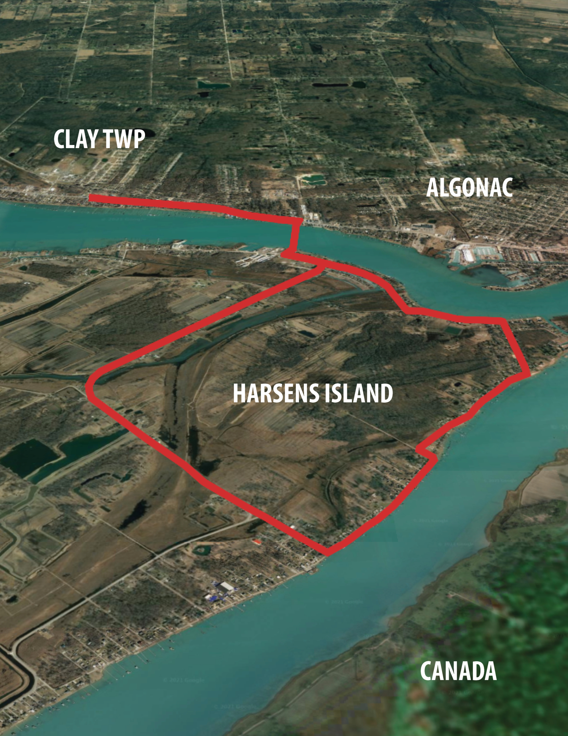
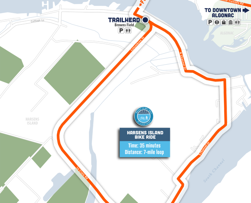
Overview: Loop route on island, free ferry ride for pedestrians and bicycles, option to explore other parts of the island

Time: 35 minutes

Distance: 7 mile loop

Level: Intermediate

Trail Surface: Asphalt/Concrete

Ride with GPS: https://ridewithgps.com/routes/36612005

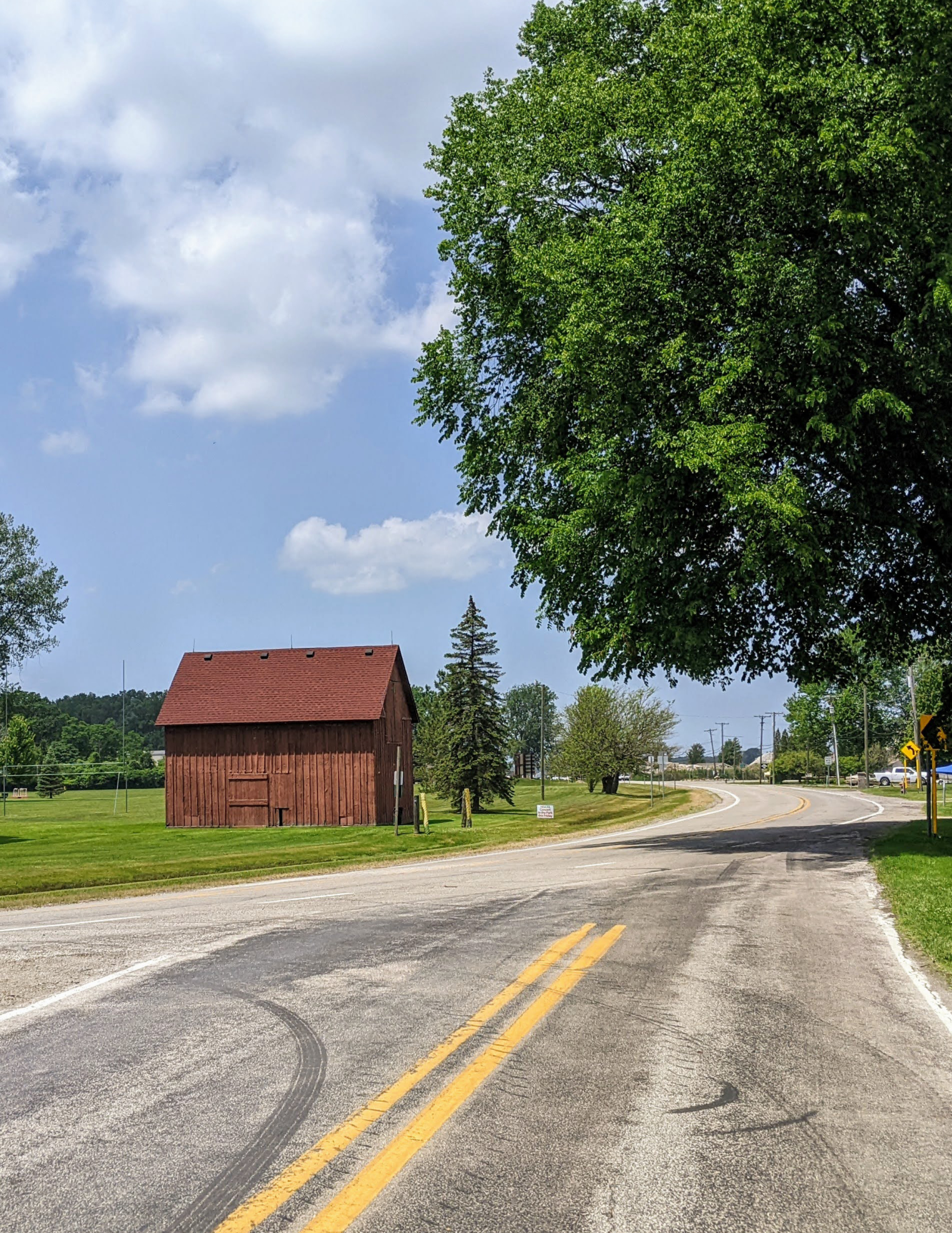
The entire bike ride consists of LOCAL ROAD ROUTES, and BUSY ROAD ROUTES

Highlights

  • Island Bike Ride
  • Ferry Ride is Free for Pedestrians and Bicyclists
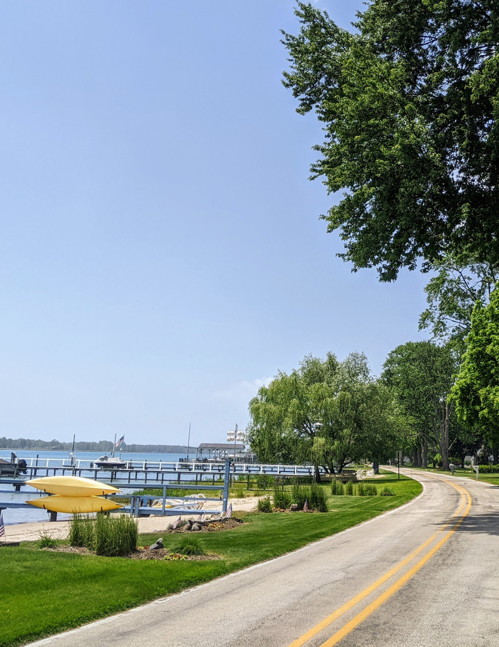
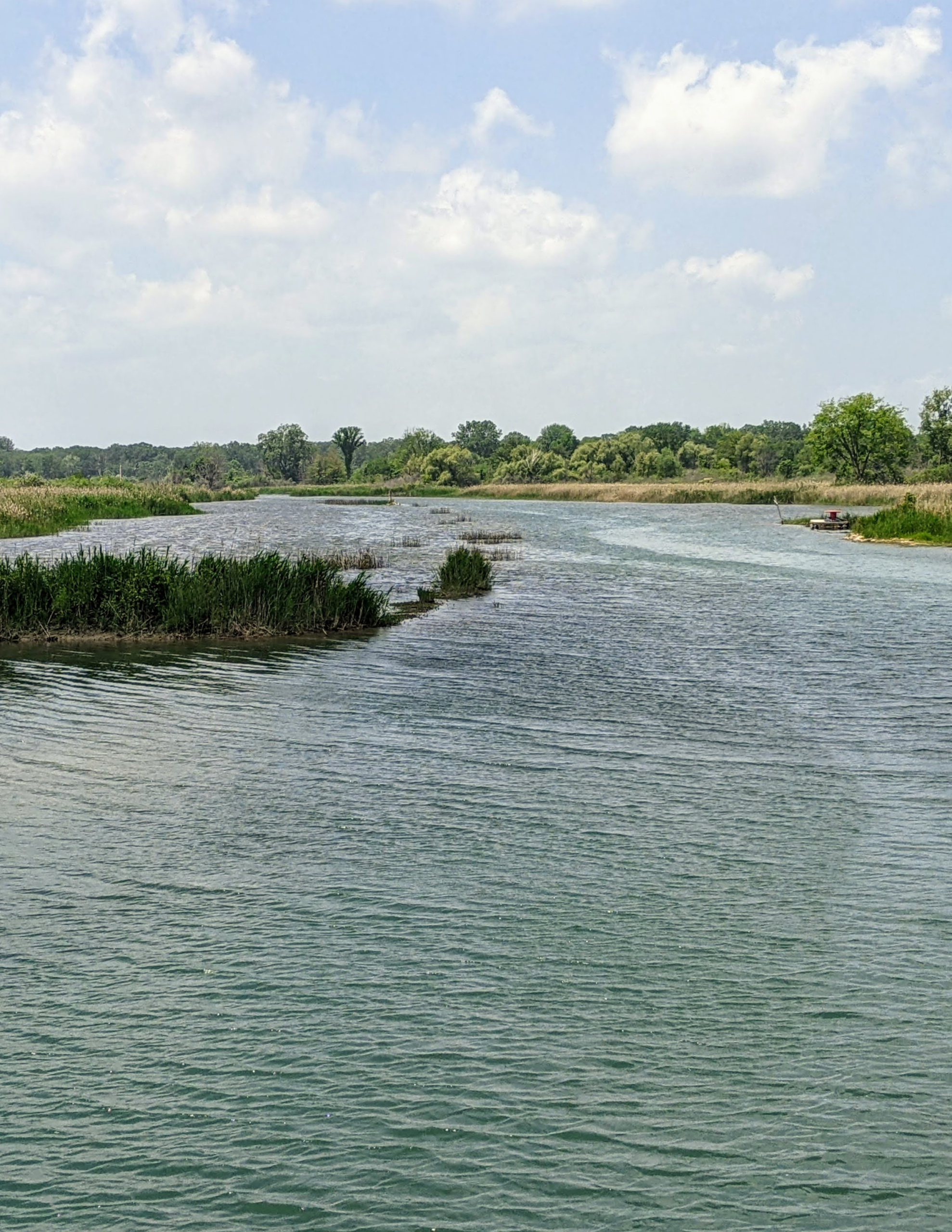
  • Wildlife and waterfowl viewing
  • Freighter viewing from S Channel Drive

Parking and Trail Access

Main Land: Clay Township Park – 4768 Pointe Tremble Rd, Algonac, MI 48001
The park is located in Clay Township off Point Tremble Road (M-29). There is a small parking lot off Lakepointe Blvd or a larger lot off Taft Road. The Ferry is located 0.7 miles east of the Park. Use the paved shoulder on Point Tremble Road (M-29) to get to the Ferry. Park amenities include playground, splash pad, walking paths, pavilion, recreation areas, concession building and drinking fountain, and restrooms.

Harsens Island: Browne’s Field – 1500 N Channel Drive, Clay Twp, MI 48001
The parking lot is located on Harsens Island off Columbine Road. There is a pavilion with sport fields, playground and restrooms.

How to Use This Map: Click the tab in the top left hand corner of the map to view the layers. You can click the check marks to hide or show layers. If you click the icons on the map, you can get more information about each point of interest.  If you click the star next to the title of the map, this map will be added to your Google Maps account. To view it on your phone or computer, open Google Maps, click the menu button, go to “Your Places,” click Maps, and you will see this map on your list.

Bikeway Legend: