MARYSVILLE BIKE RIDE

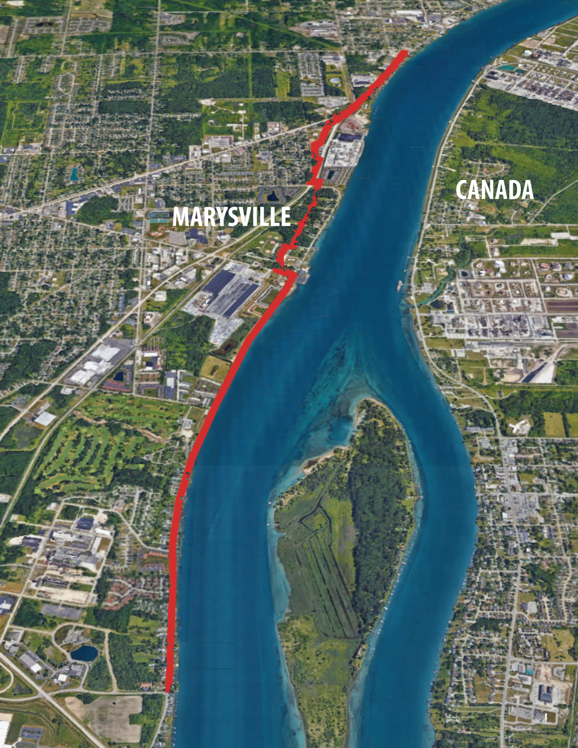
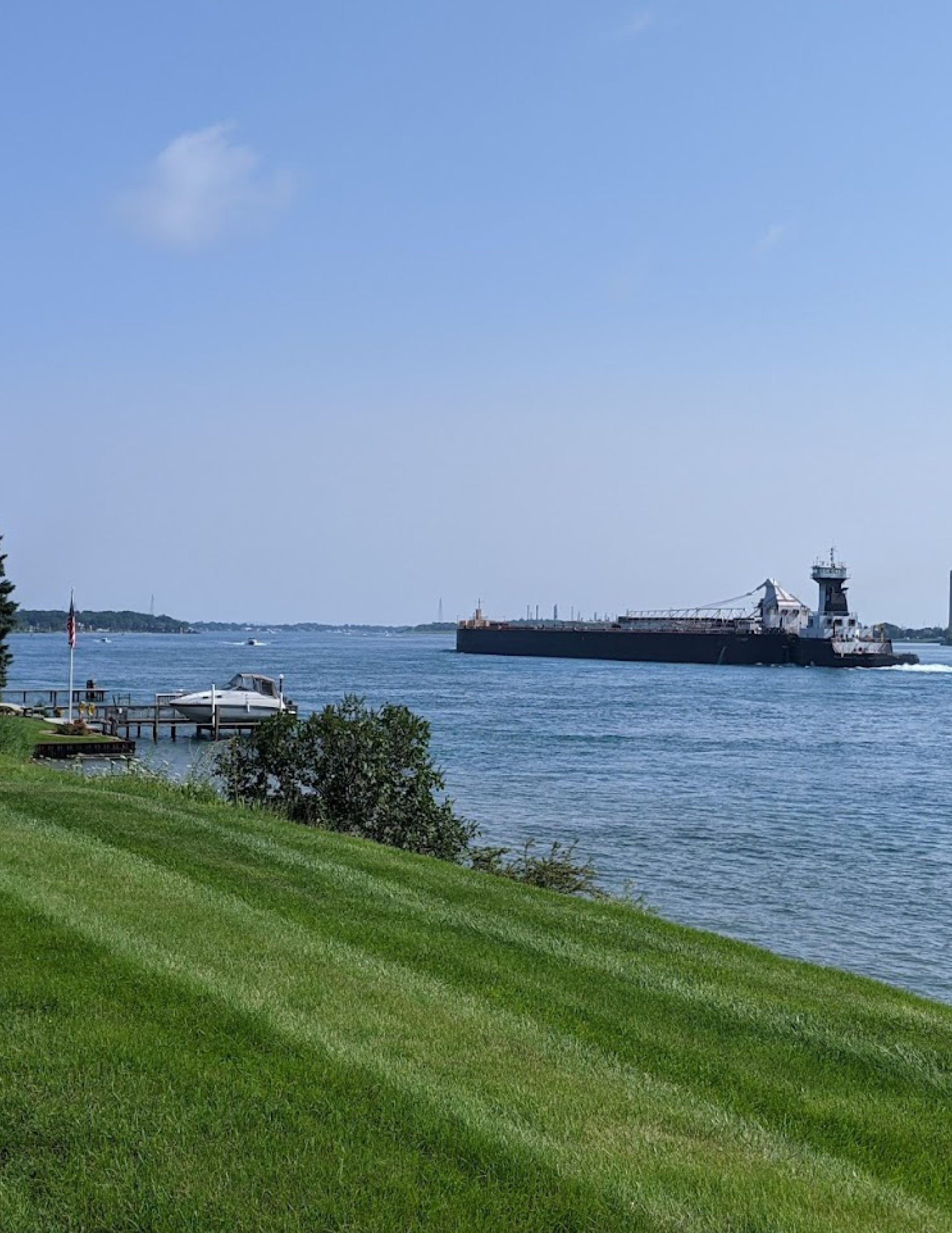
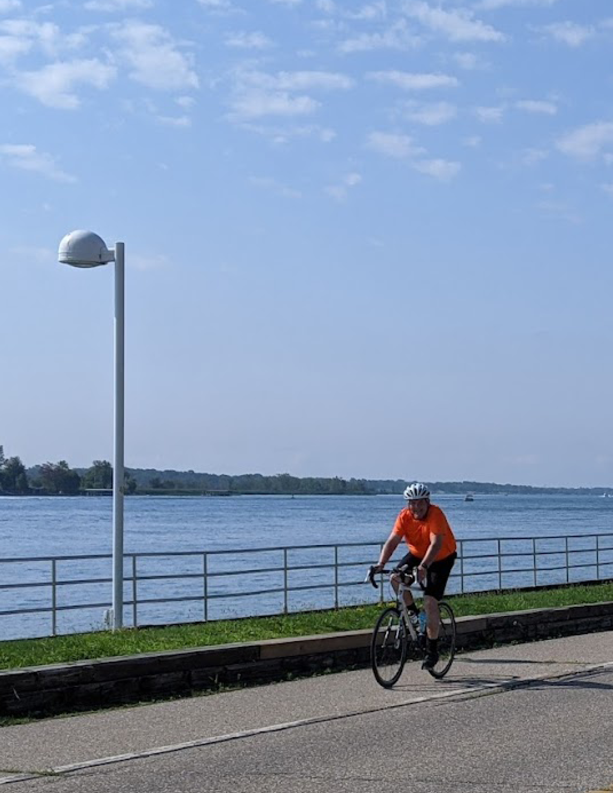
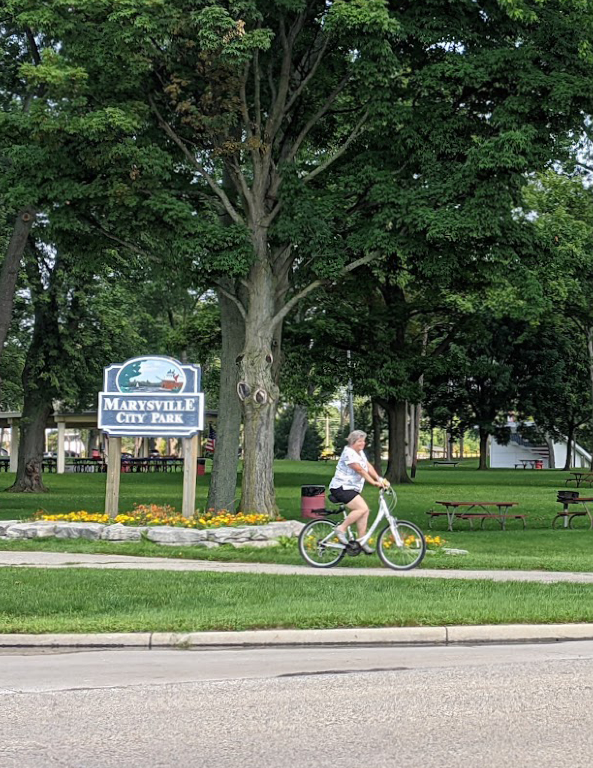
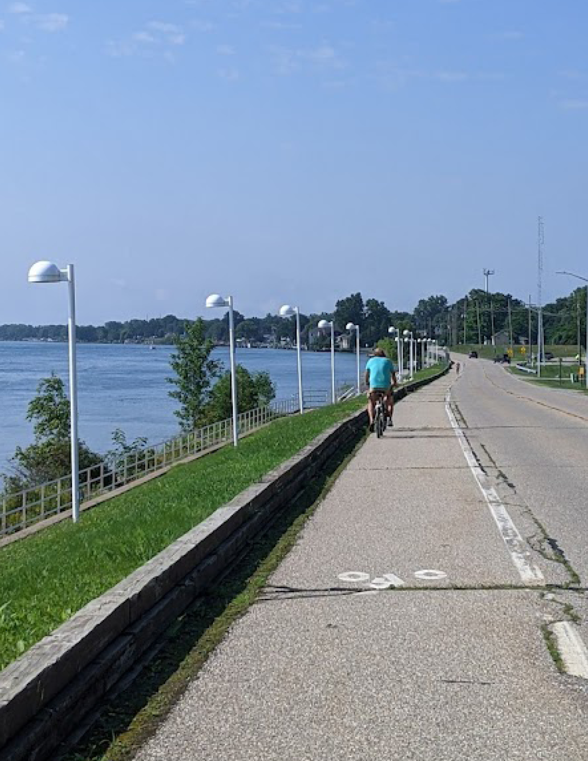
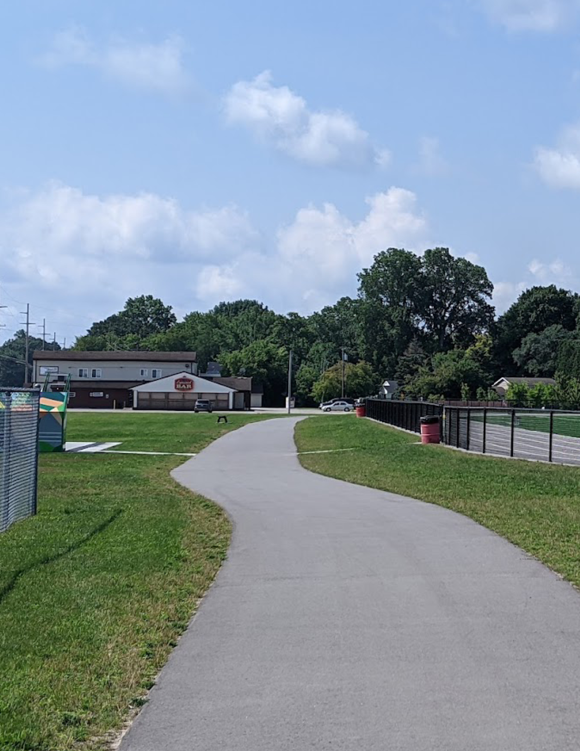
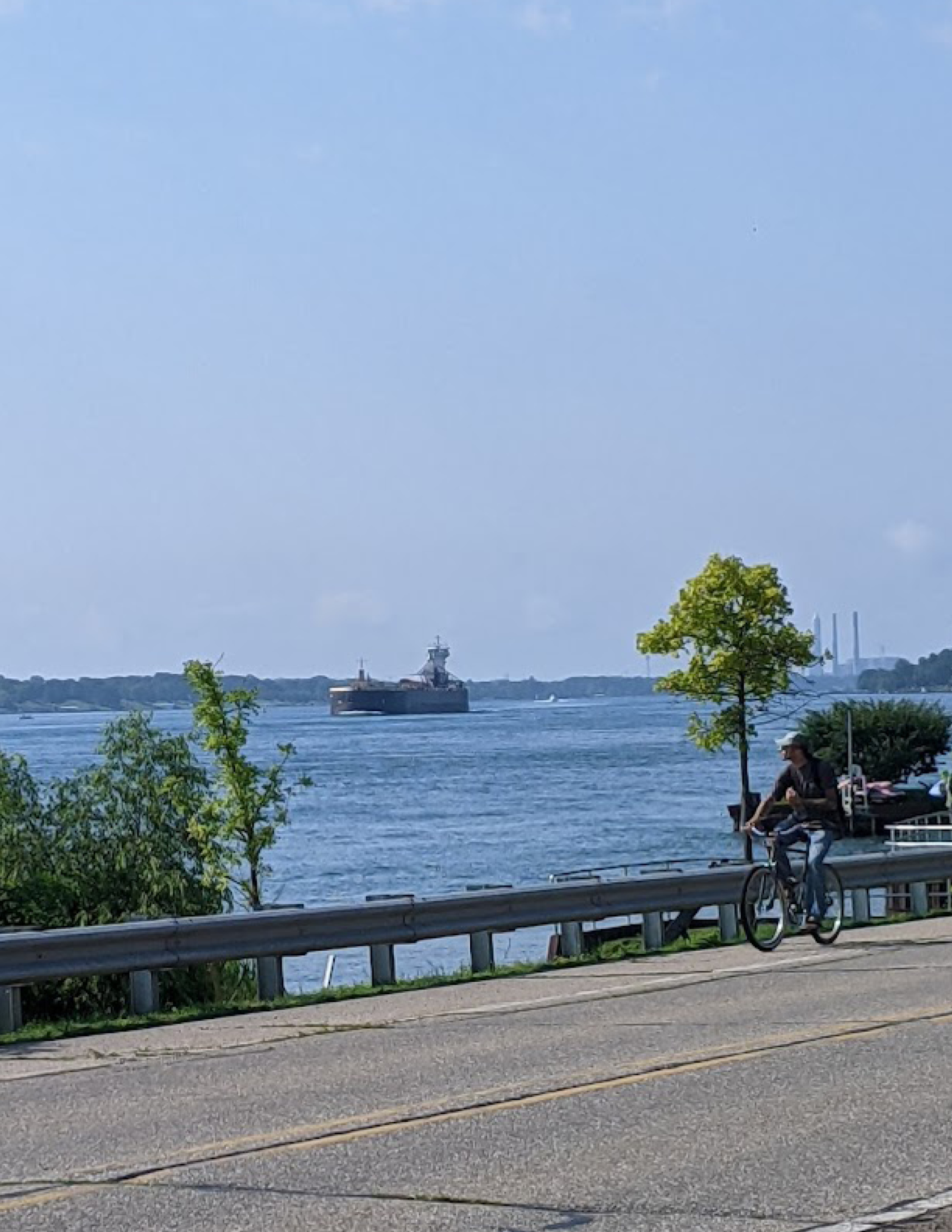
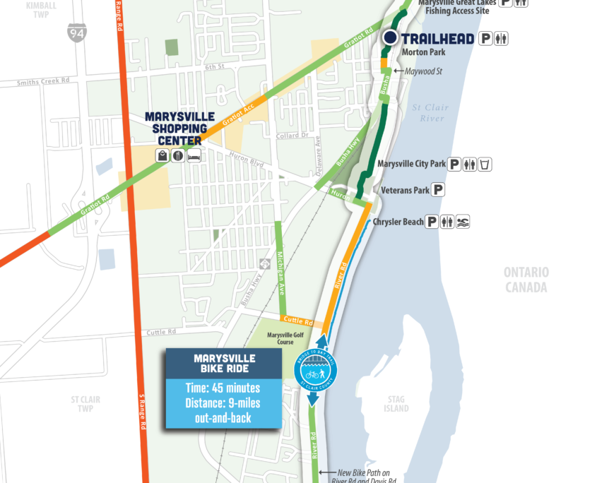
Enjoy Marysville’s riverfront on this 9-mile bike ride. It passes through Morton Park, Marysville City Park, Chrysler Beach and along Marysville’s living shoreline. The trail follows River Road were you will get unrestricted views of the river.

Option to extend you trip into Marysville by following the pathway north out of Morton Park, then turn left after crossing Gratiot Ave. The sidepath will lead you all the way to I-94 with many shopping and dining options along the way.

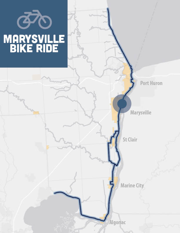
Overview: Out-and-back, unrestricted views of Marysville’s riverfront

Time: 45 minutes

Distance: 9 miles out-and-back

Level: Easy

Trail Surface: Asphalt/Concrete

Ride with GPS:
https://ridewithgps.com/routes/36633647

Amenities - Restroom, Drinking Fountain, Lodging, Food

The bike ride consists of OFF-ROAD TRAILS, SIDEPATHS, and LOCAL ROAD ROUTES.

Highlights

  • Unrestricted views of the river
  • Pass through multiples parks and beach
  • Opportunity to extend down Gratiot Ave for dining and shopping
  • Visit the Marysville Trail Town Page to learn more

Parking and Trail Access

Morton Park – 560 Busha Hwy, Marysville, MI 48040
Access the parking lot from Busha Hwy(M-29), south of Gratiot. Access to the trail is on the east side of the parking lot. Amenities include drinking fountains and restrooms.

Additional parking can be found in Marysville City Park and at Chrysler Beach.

How to Use This Map: Click the tab in the top left hand corner of the map to view the layers. You can click the check marks to hide or show layers. If you click the icons on the map, you can get more information about each point of interest.  If you click the star next to the title of the map, this map will be added to your Google Maps account. To view it on your phone or computer, open Google Maps, click the menu button, go to “Your Places,” click Maps, and you will see this map on your list.

Bikeway Legend: