Due to recent high water and flooding, sections of the boardwalk may be underwater. 

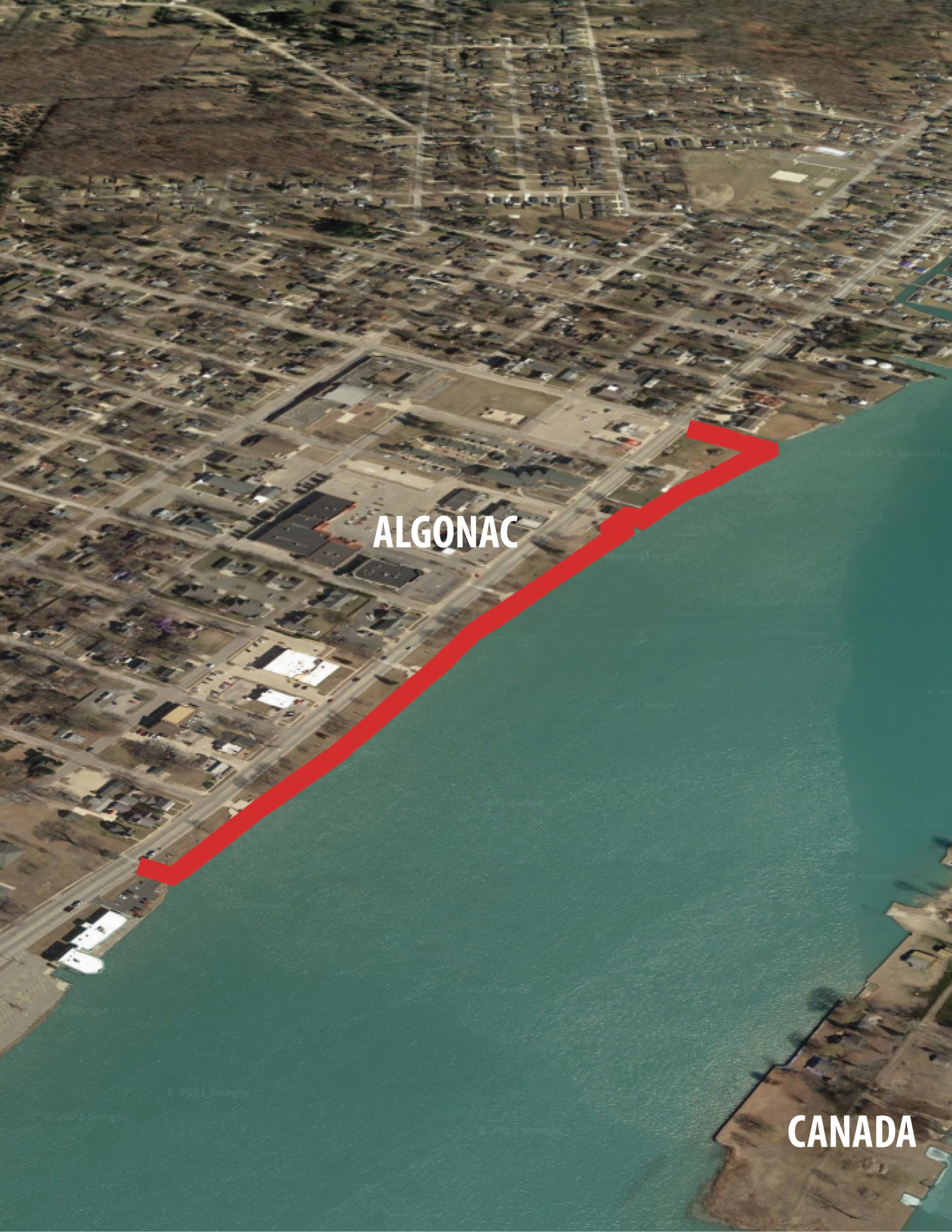
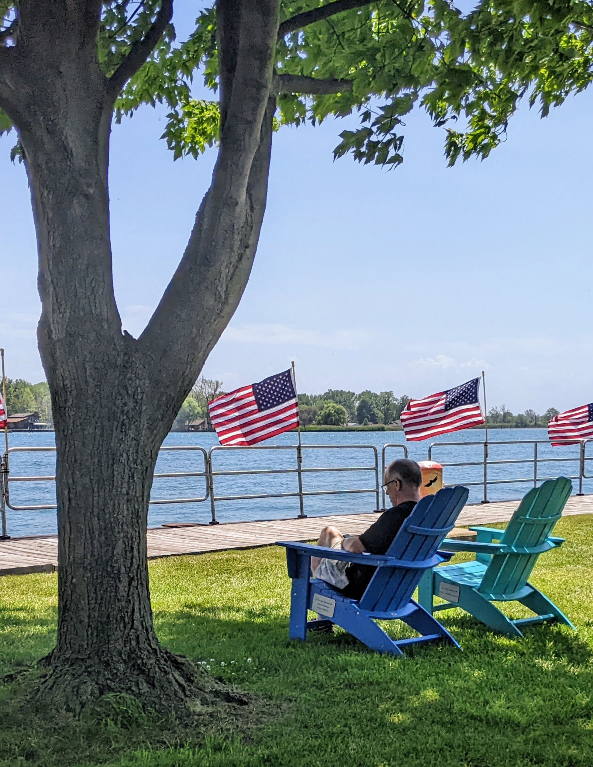
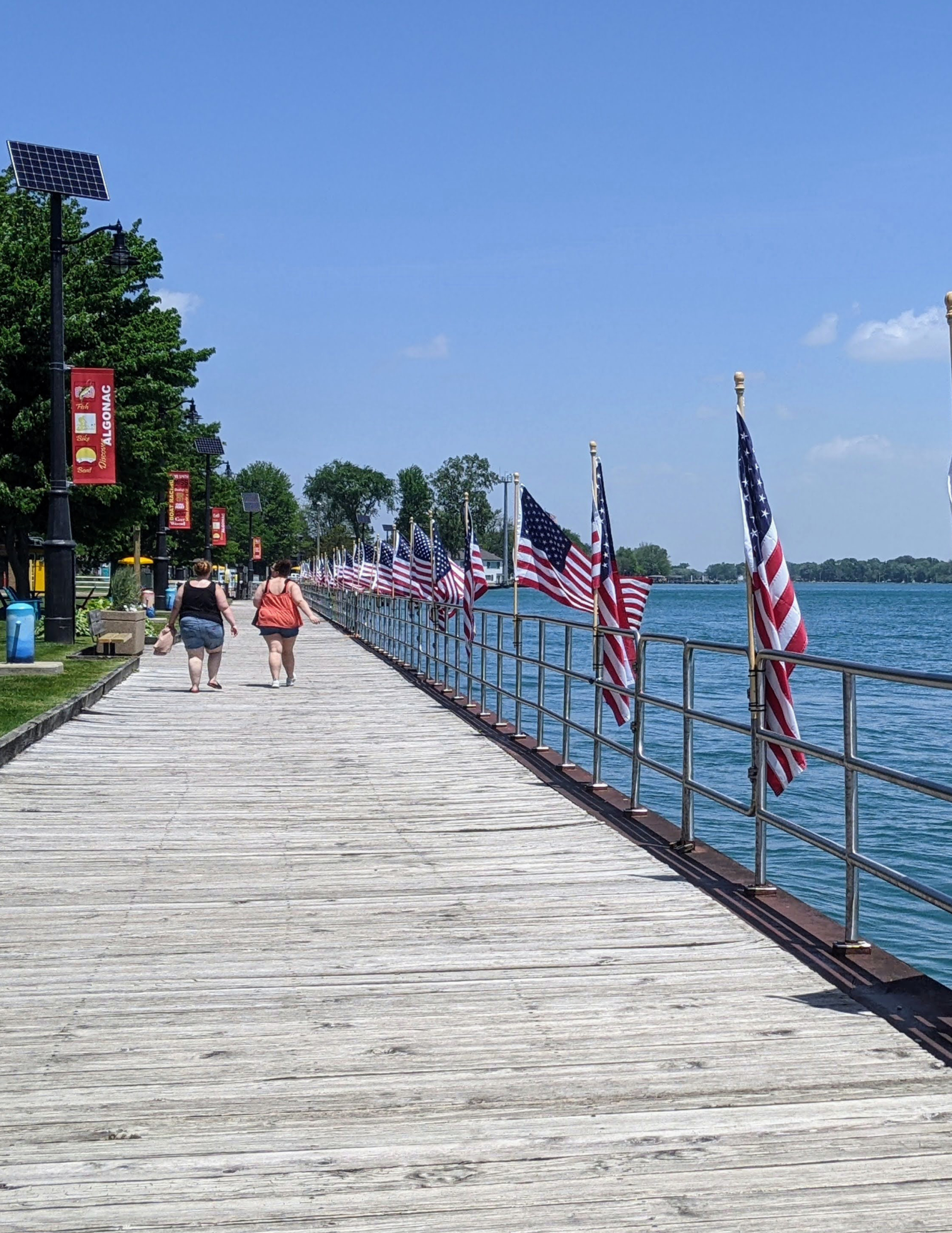
Overview: Out-and-back, walking route, views of Canada and the St Clair River

Time: 20 minutes

Distance: 1-mile out-and-back

Level: Easy

Trail Surface: Asphalt/Concrete 

Amenities - Restrooms and Food

Highlights

  • Views of the St Clair River
  • Nearby shopping and restaurants
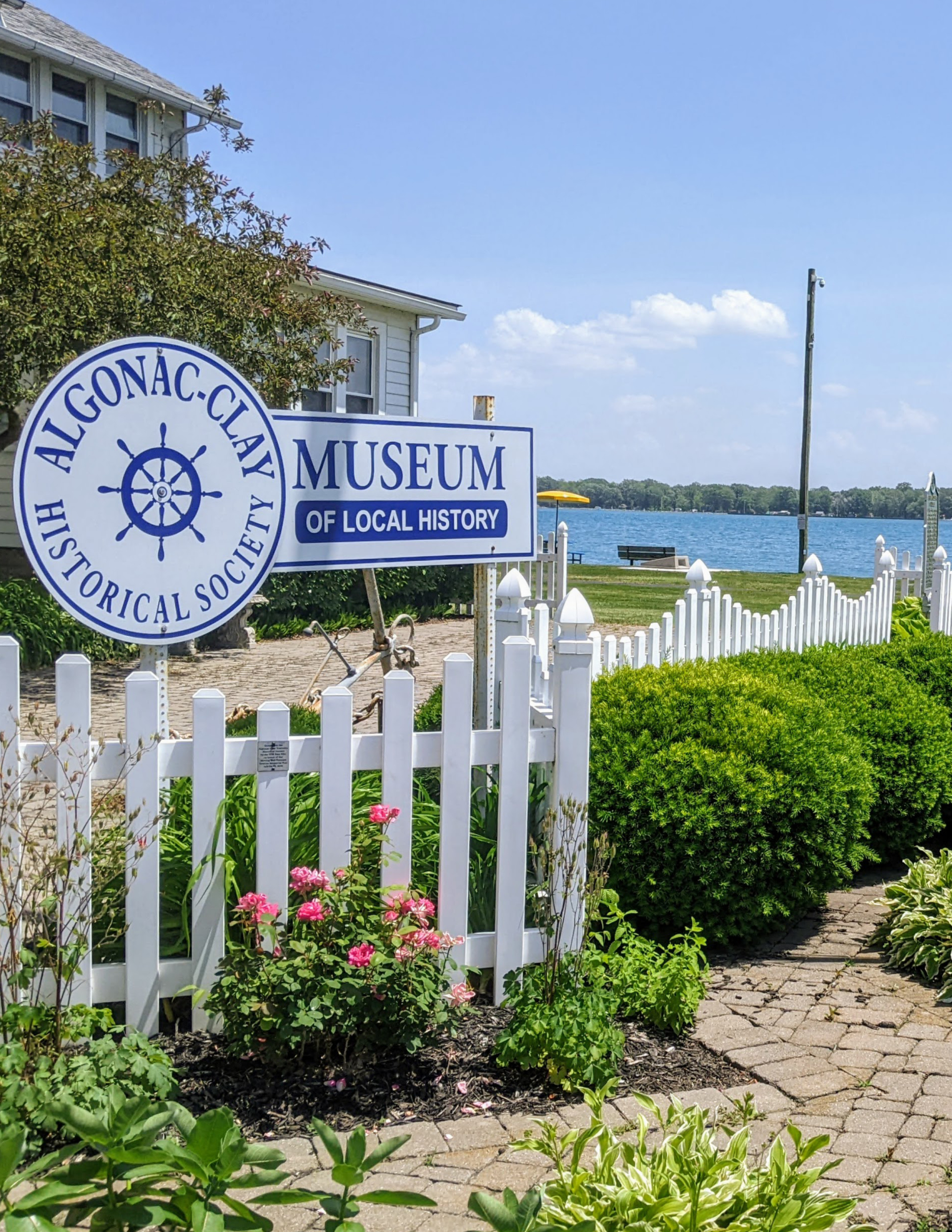
  • Algonac Clay Historical Museum
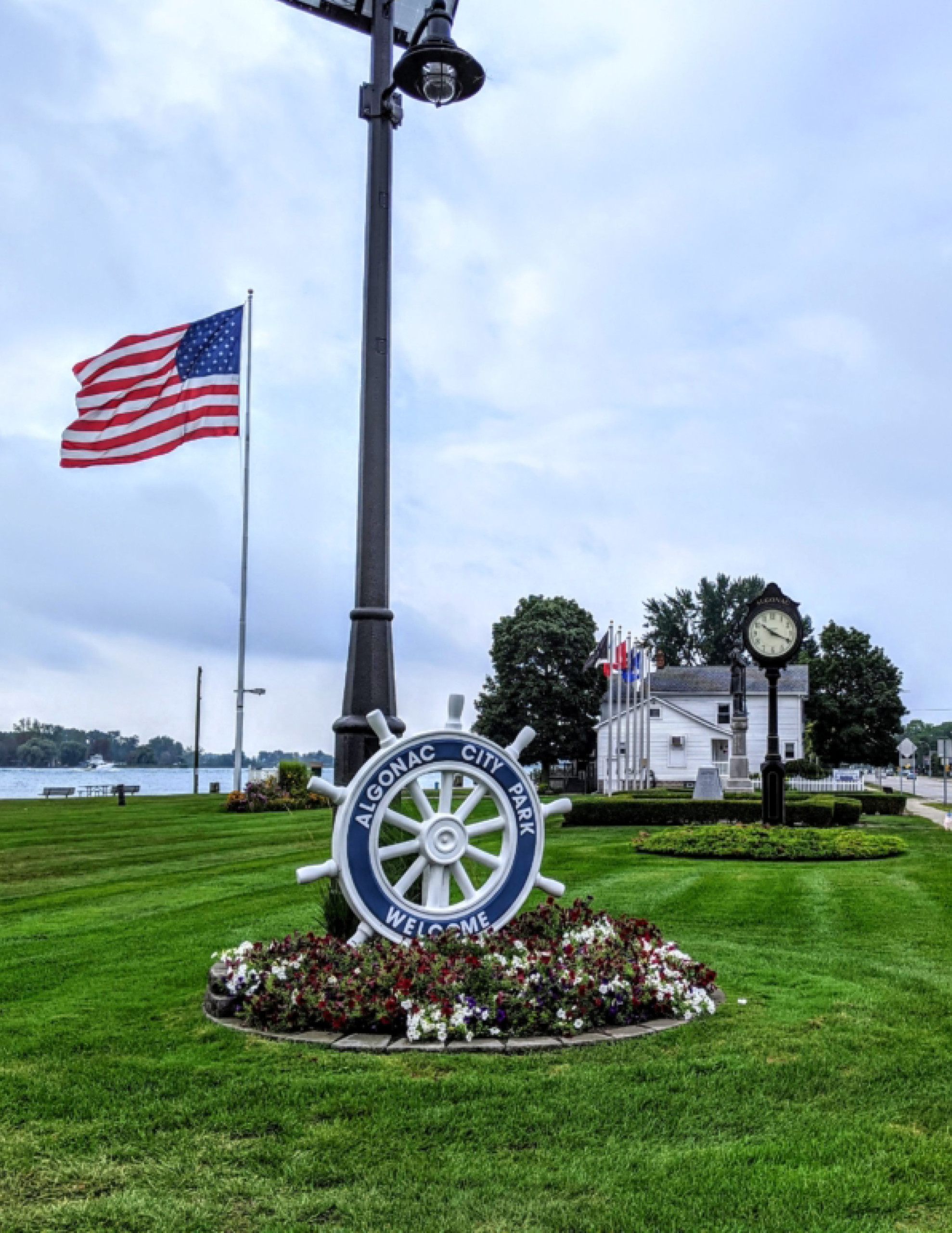
  • Local events hosted in the park
  • Visit the Algonac Trail Towns Page to learn more

Parking and Trail Access

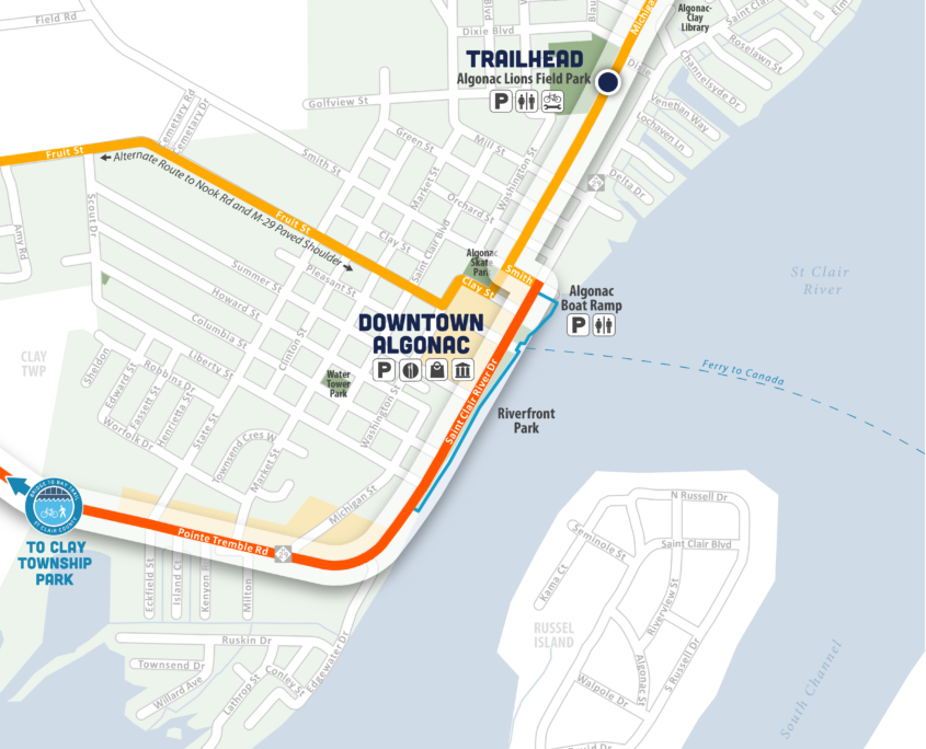
Smith Street Parking Lot – 400 Smith Street, Algonac, MI 48001
The parking lot is located at the corner of Smith Street and Michigan Street behind the Dairy Queen.

Access the boardwalk by following Smith Street east, then crossing St Clair River Dr/M-29 at the marked crosswalk.  The start of the boardwalk is located on the south side of the boat launch.

How to Use This Map: Click the tab in the top left hand corner of the map to view the layers. You can click the check marks to hide or show layers. If you click the icons on the map, you can get more information about each point of interest.  If you click the star next to the title of the map, this map will be added to your Google Maps account. To view it on your phone or computer, open Google Maps, click the menu button, go to “Your Places,” click Maps, and you will see this map on your list.