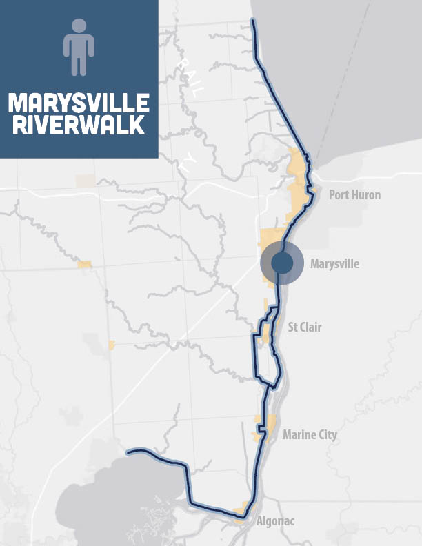
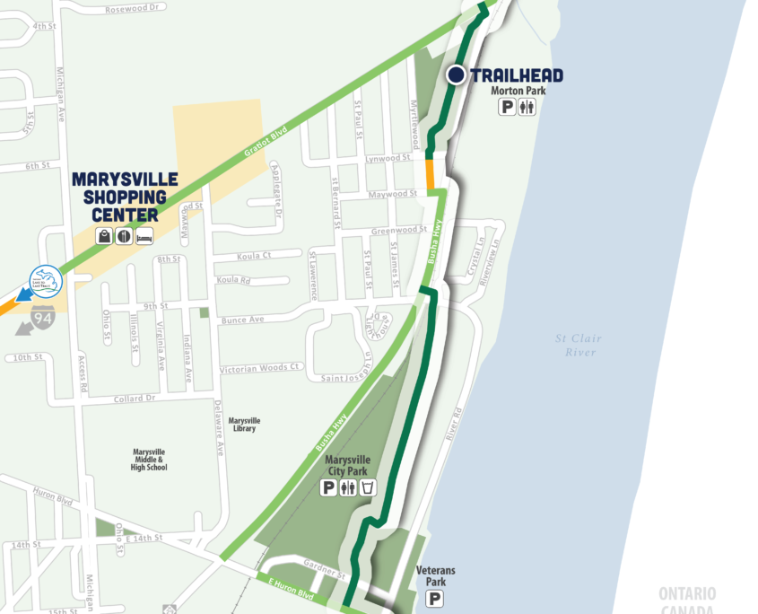
MARYSVILLE RIVERWALK
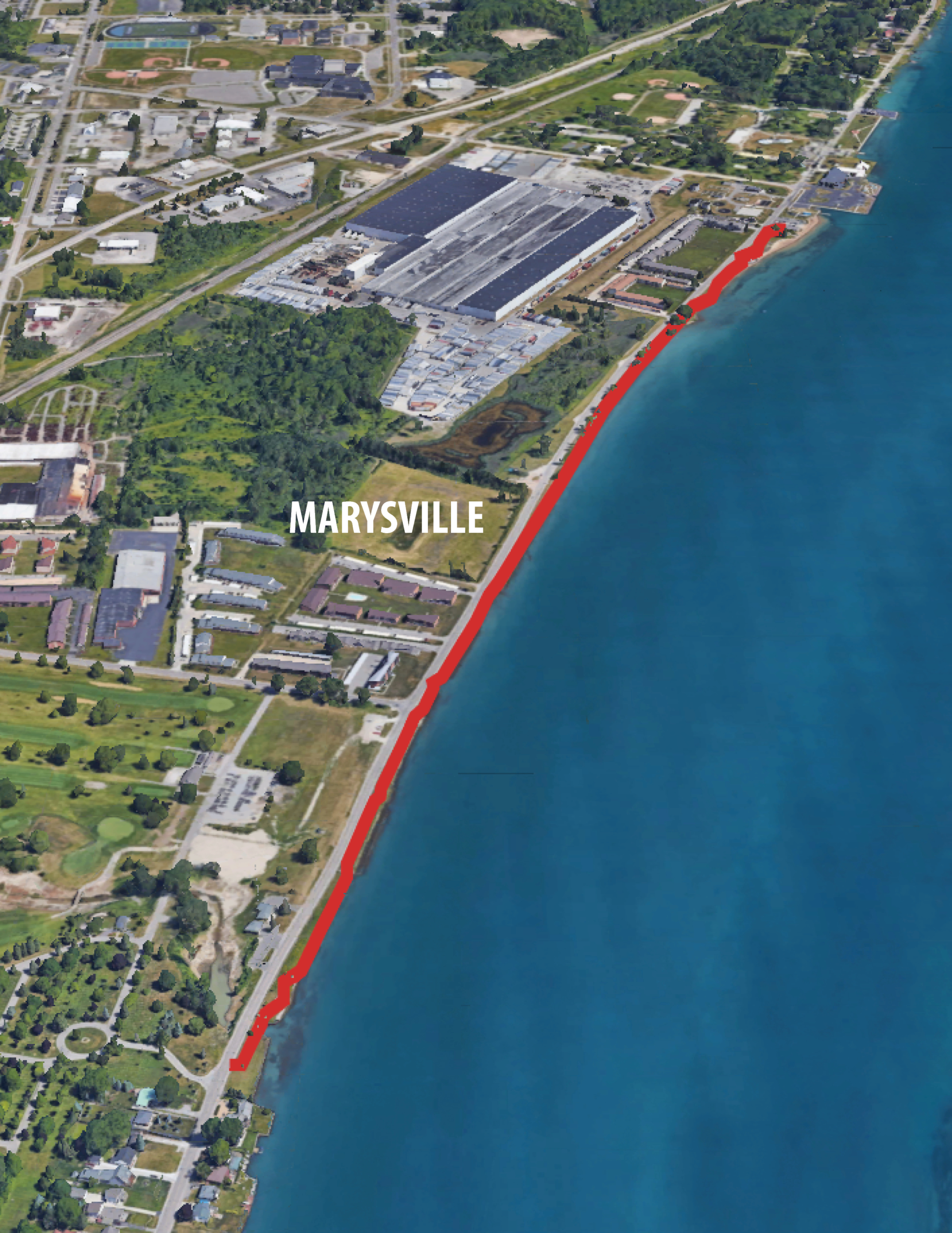
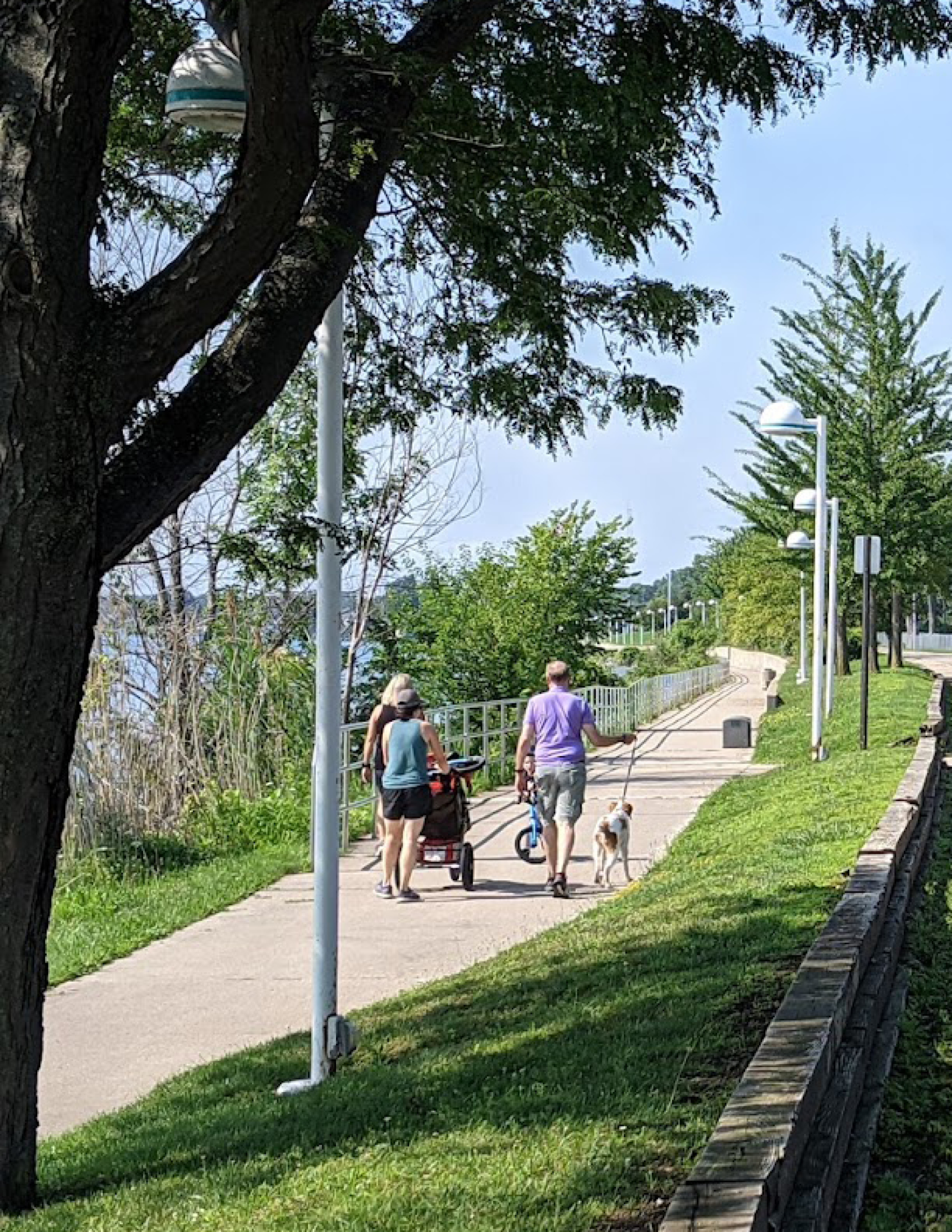
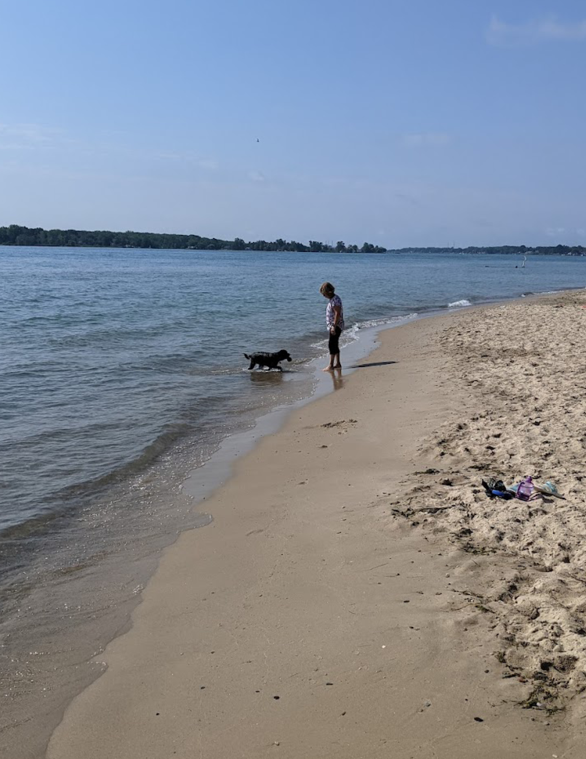
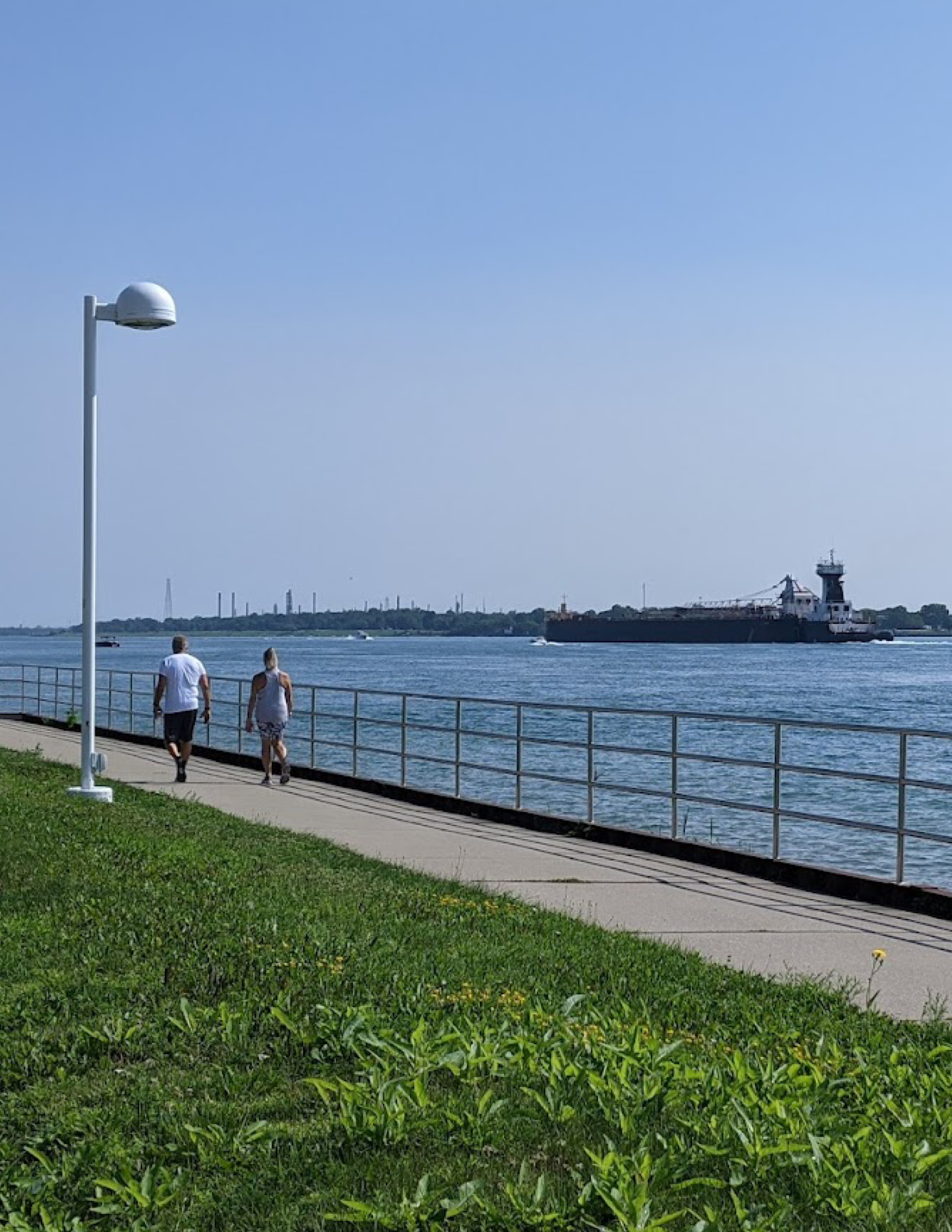
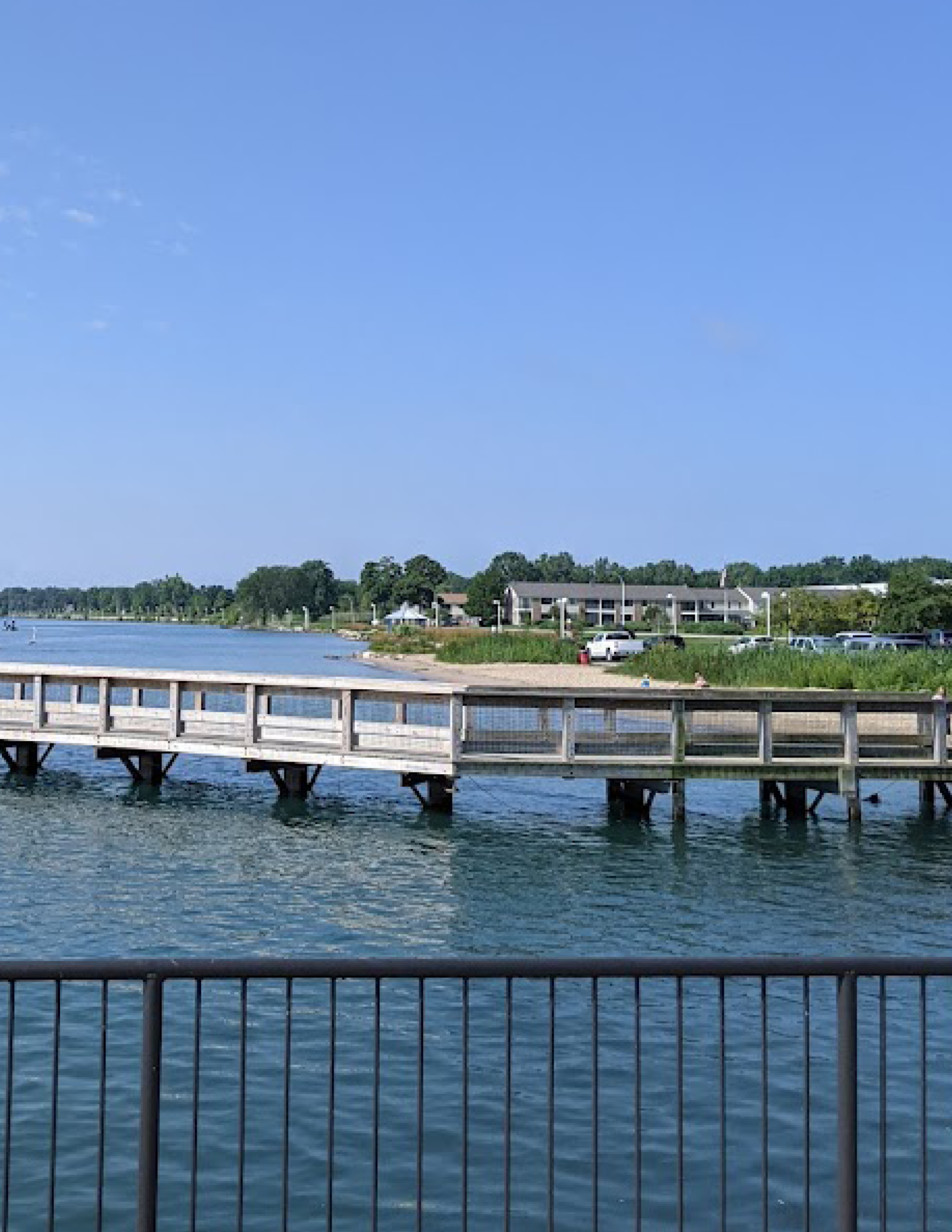
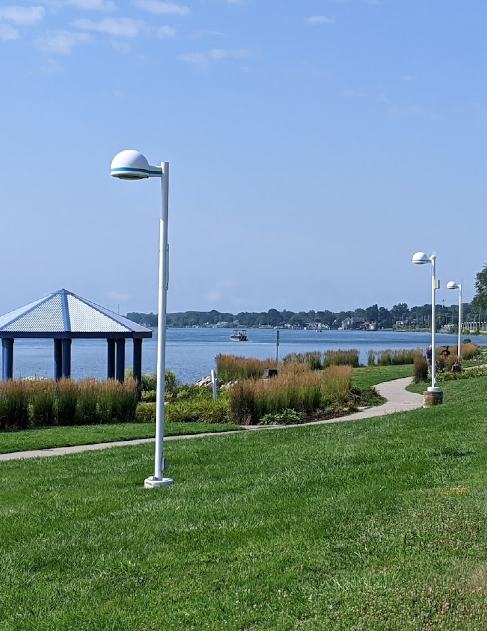
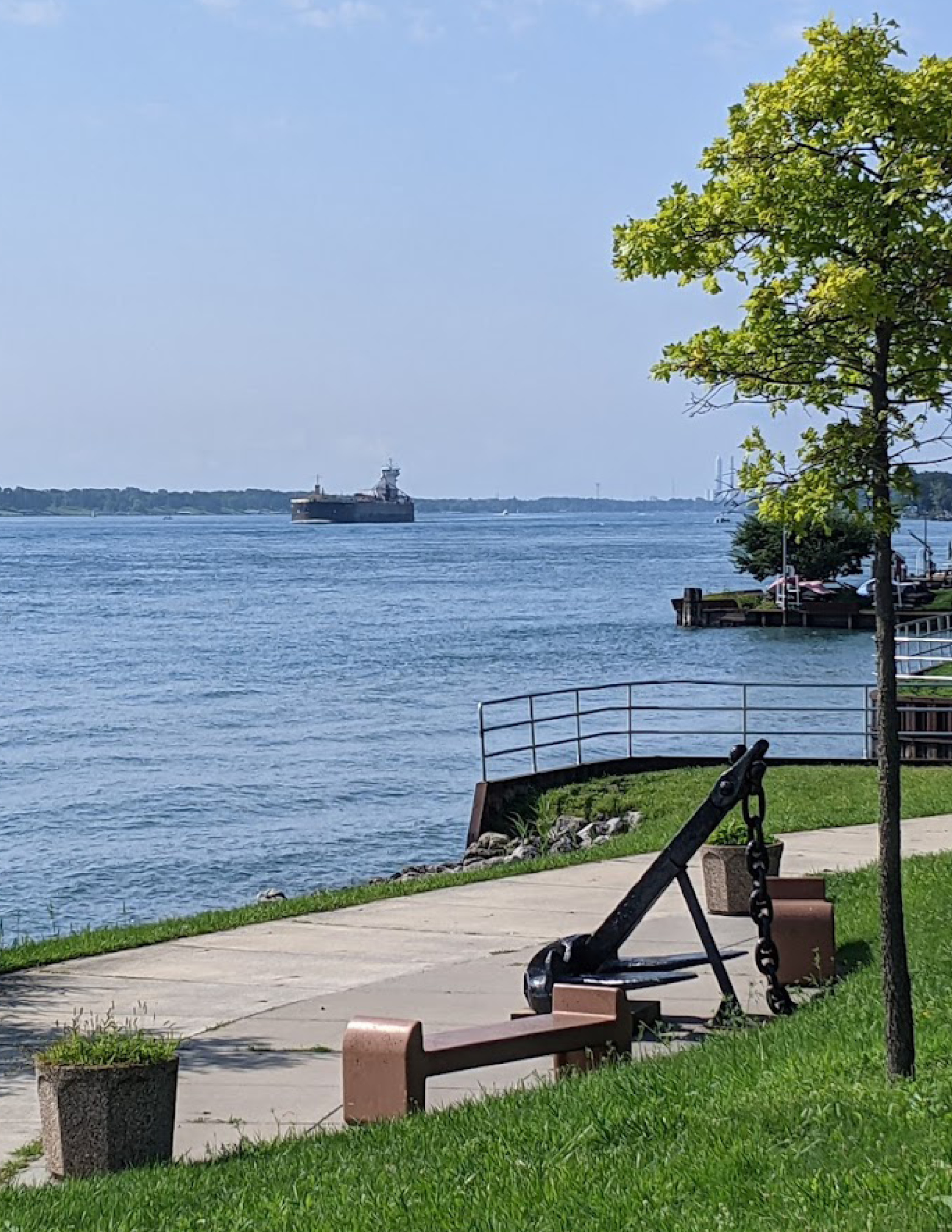
Marysville’s riverfront is a popular outdoor destination with a beach, park and 2.7 acres of living shoreline, where aquatic plants and cobble provide a habitat in which fish can spawn. The riverwalk is about 1-mile long. At the north end of the riverwalk is Marysville City Park and Chrysler Beach where the city hosts numerous events throughout the year. A new splash pad, picnic area, pavilions, playgrounds and recreation area make this a great destination for families. The shoreline is perfect for fishing or taking a leisurely stroll.
For everyone’s safety, please park or walk your bicycle on the riverwalk

