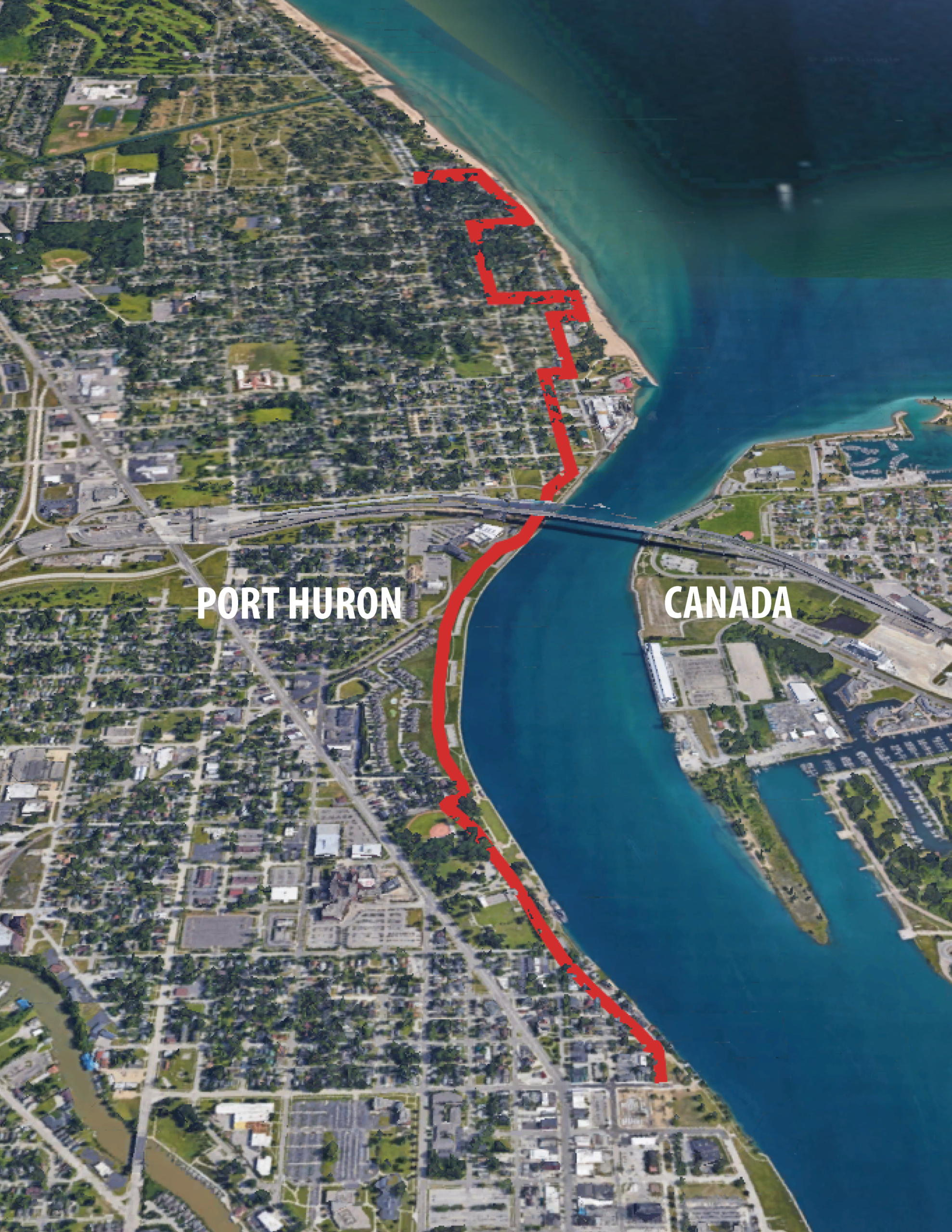
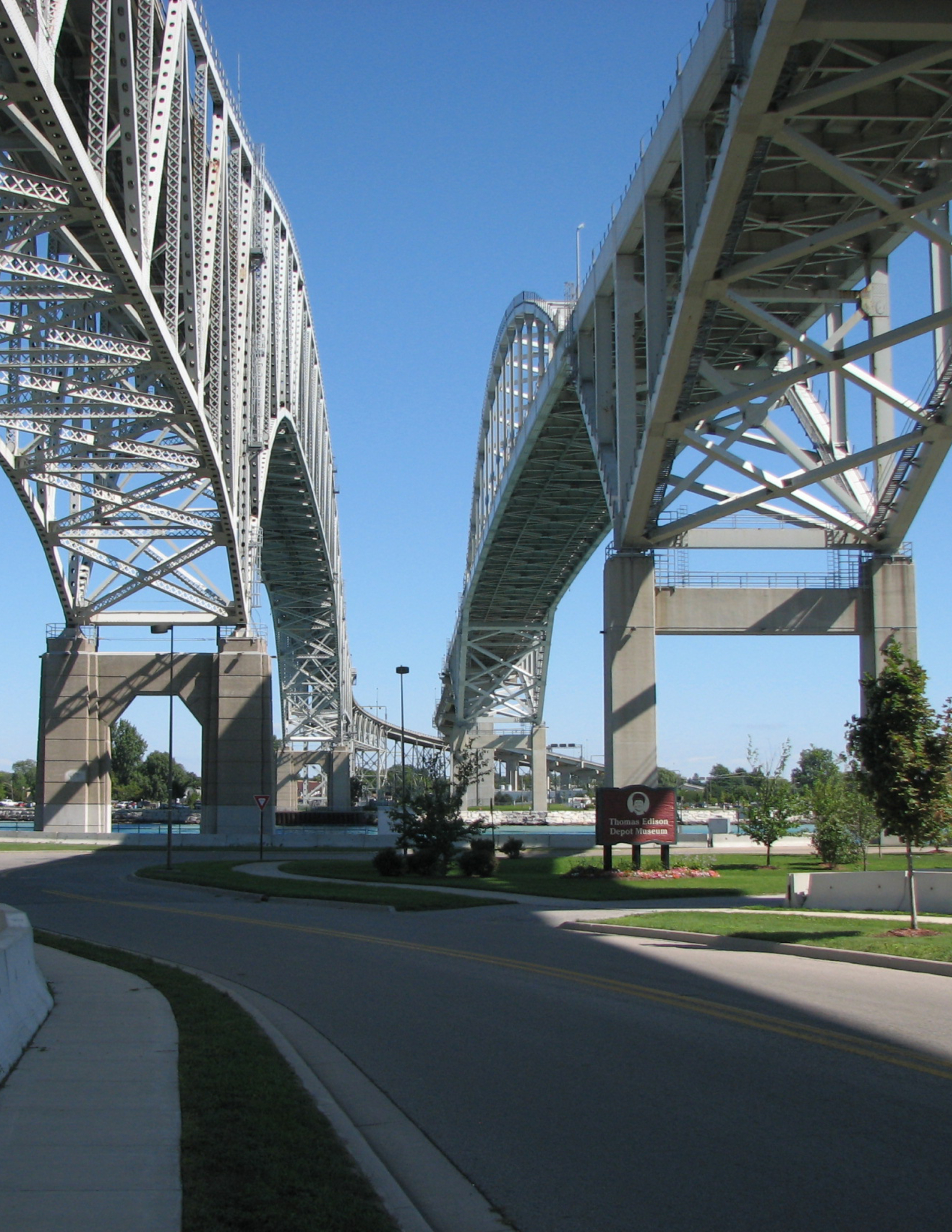
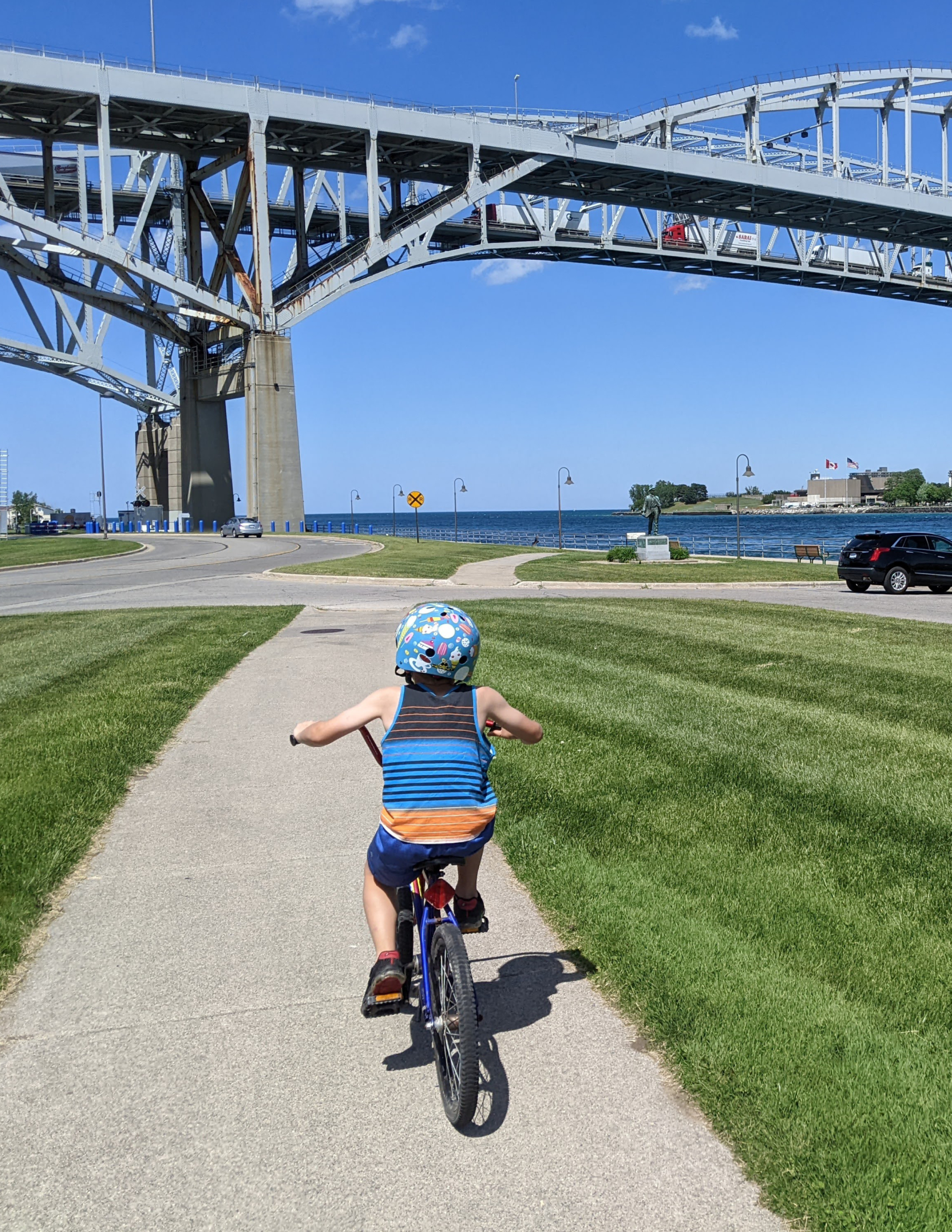
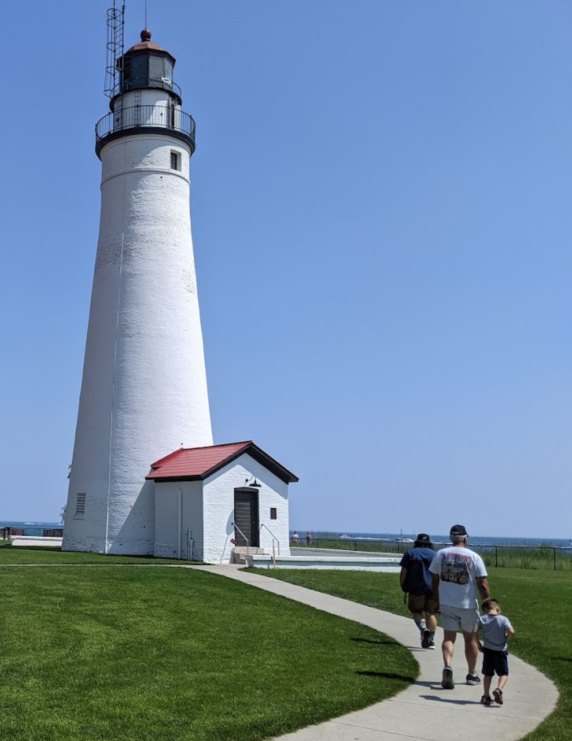
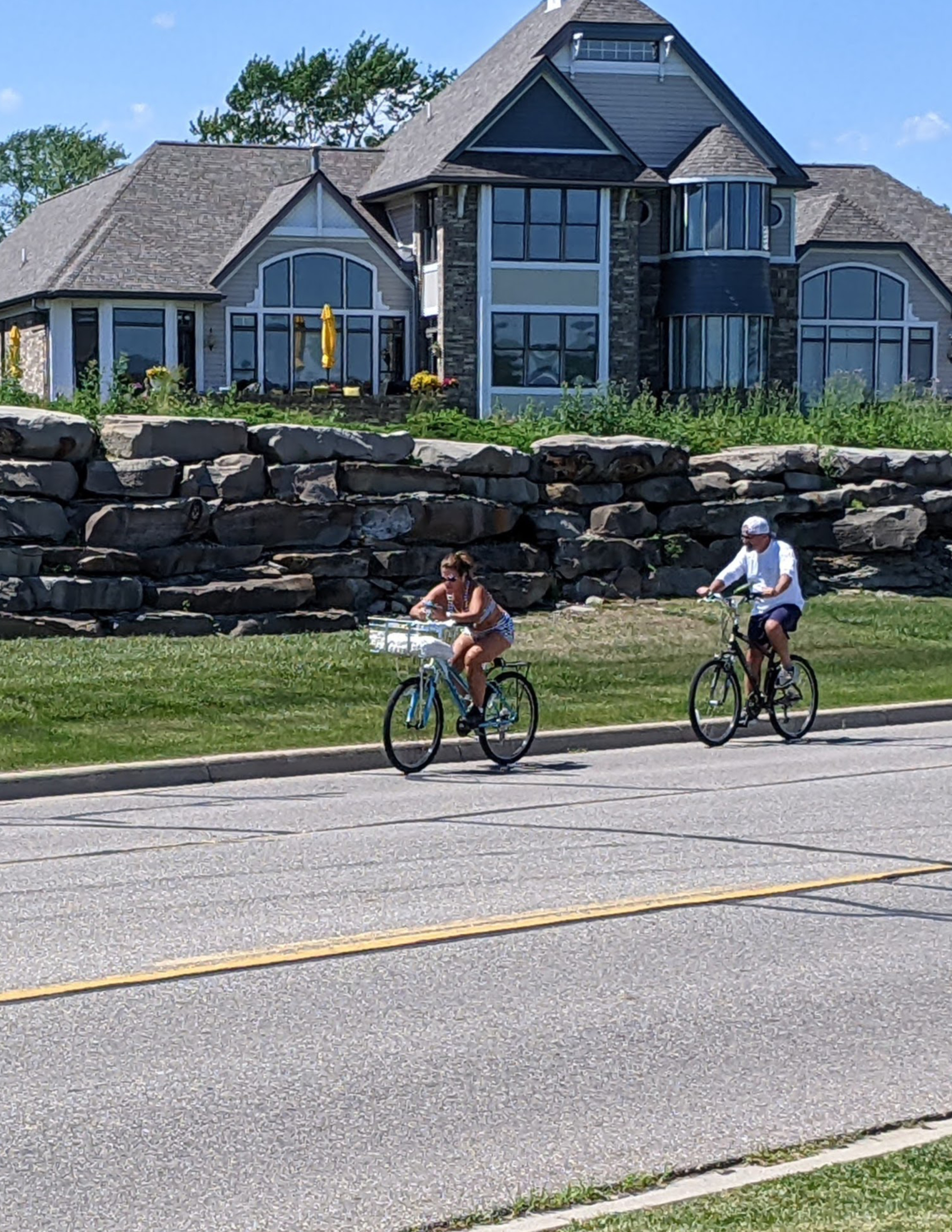
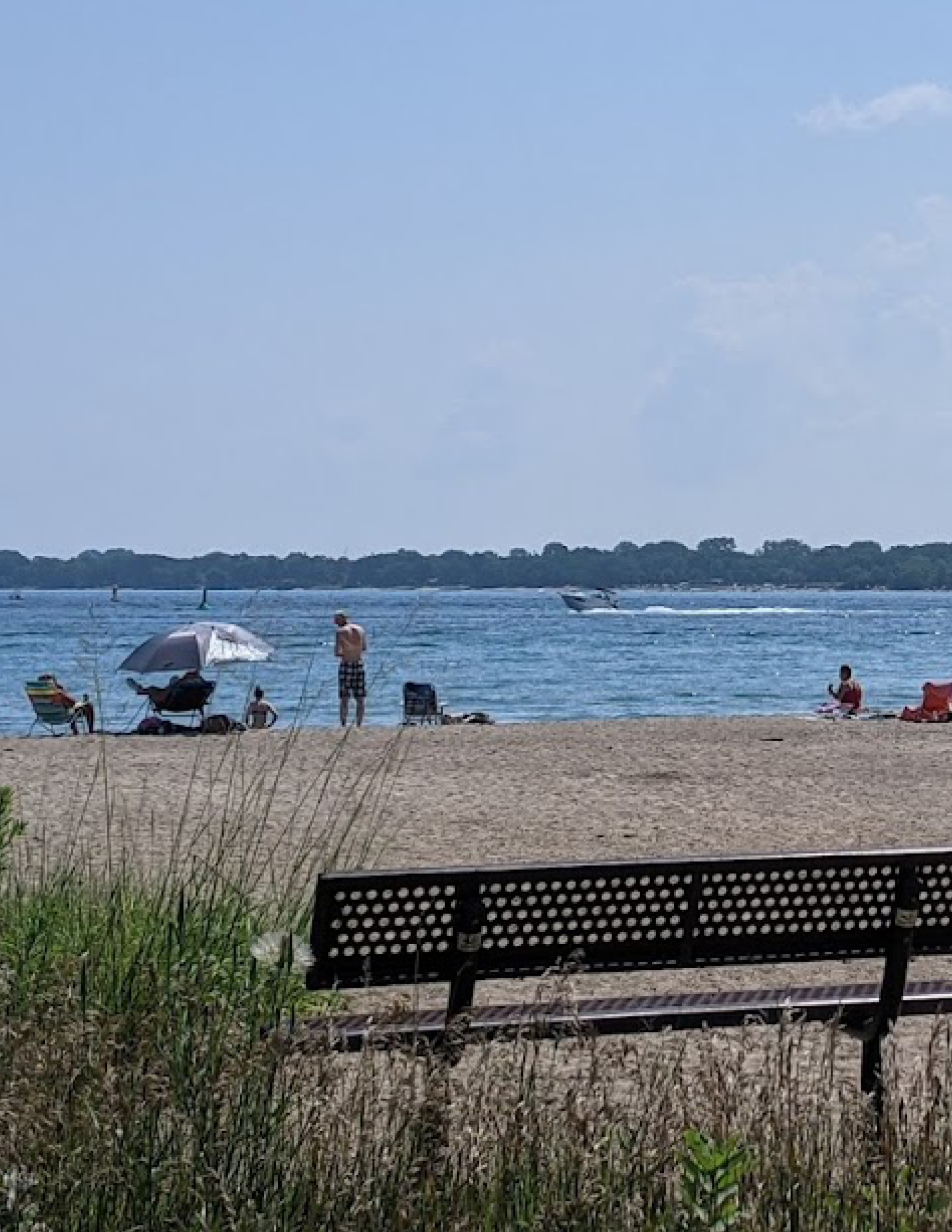
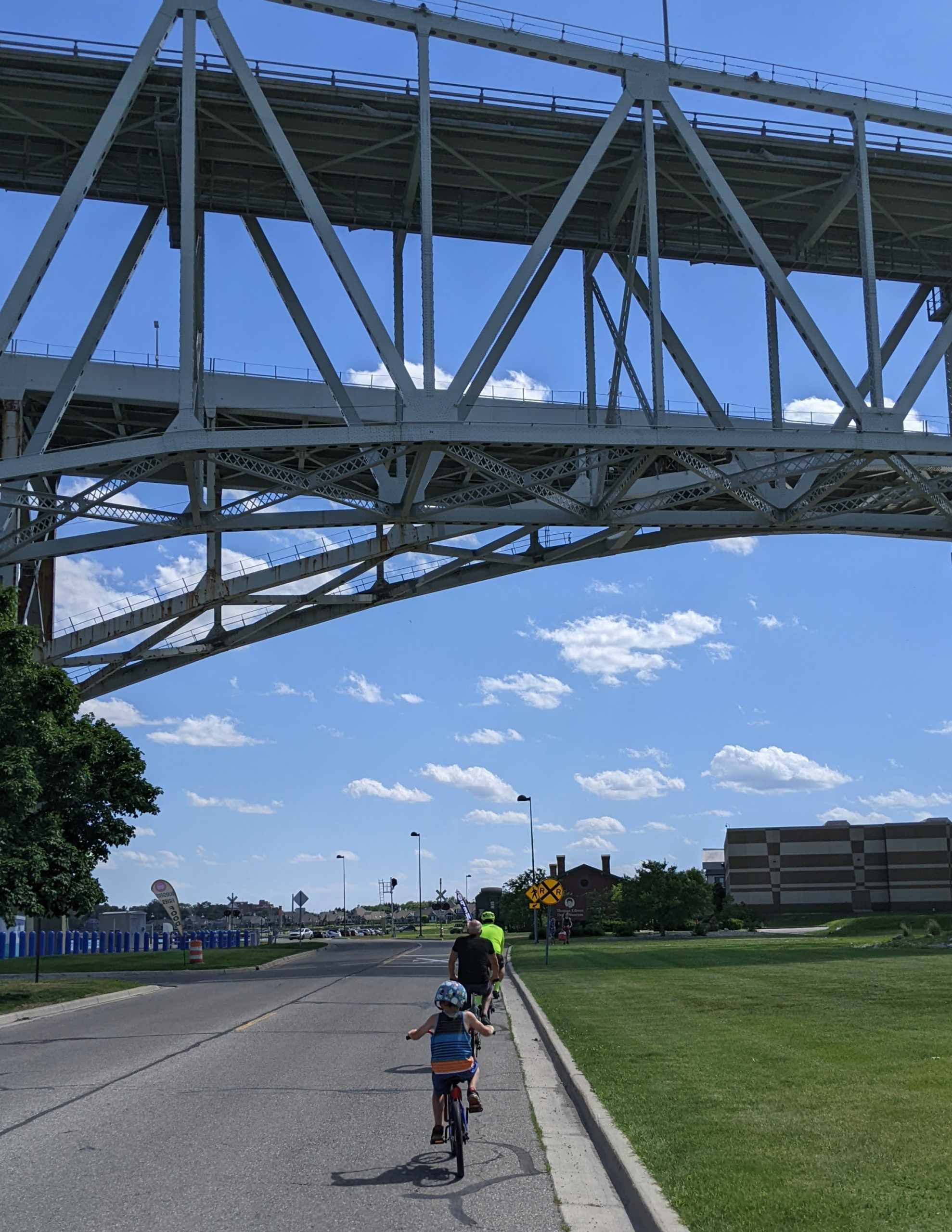
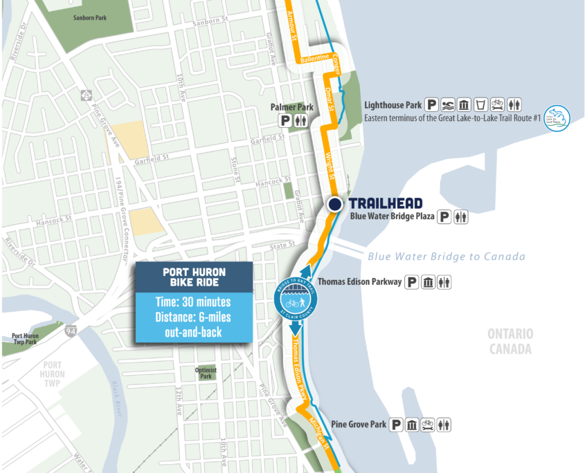
Overview: Out-and-back, local road route, views of the Blue Water Bridge and Lake Huron, numerous waterfront parks and riverwalks

Time: 30 minutes biking, 2 hours walking

Distance: 6-miles out-and-back

Level: Easy

Trail Surface: Asphalt/Concrete

Ride with GPS:
https://ridewithgps.com/routes/36633730

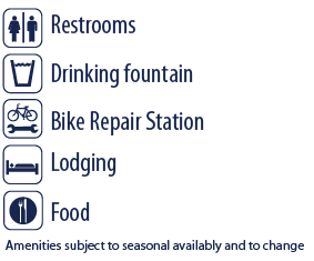
Amenities - Restrooms, Drinking Fountain, Bike Repair Station, Lodging, and Food

For seasonal amenities and information on parking visit Port Huron City Parks and Beaches Website.

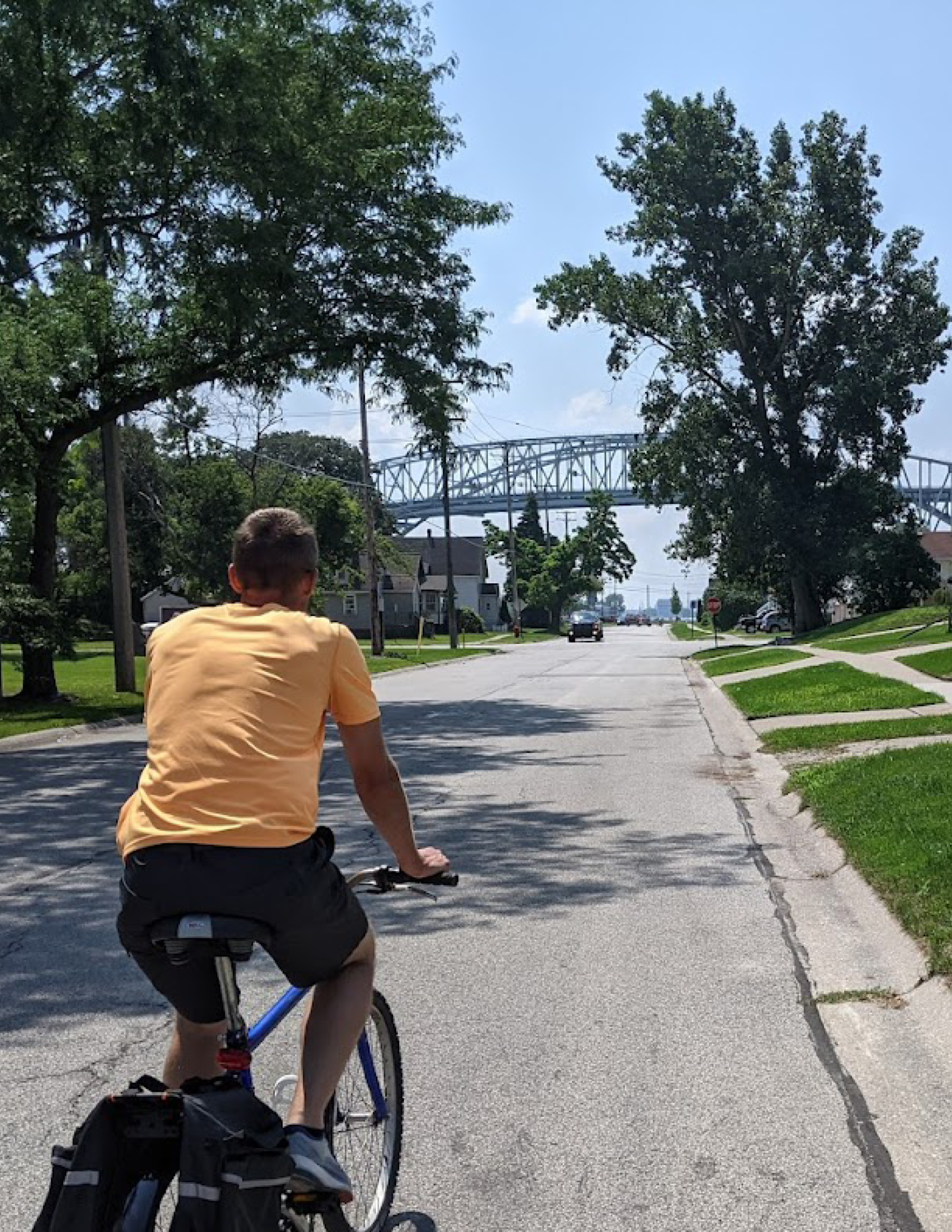
The entire bike ride consists of LOCAL ROAD ROUTES.

Highlights

  • Local road route following the coastline
  • Numerous riverfront parks, beaches, and riverwalks
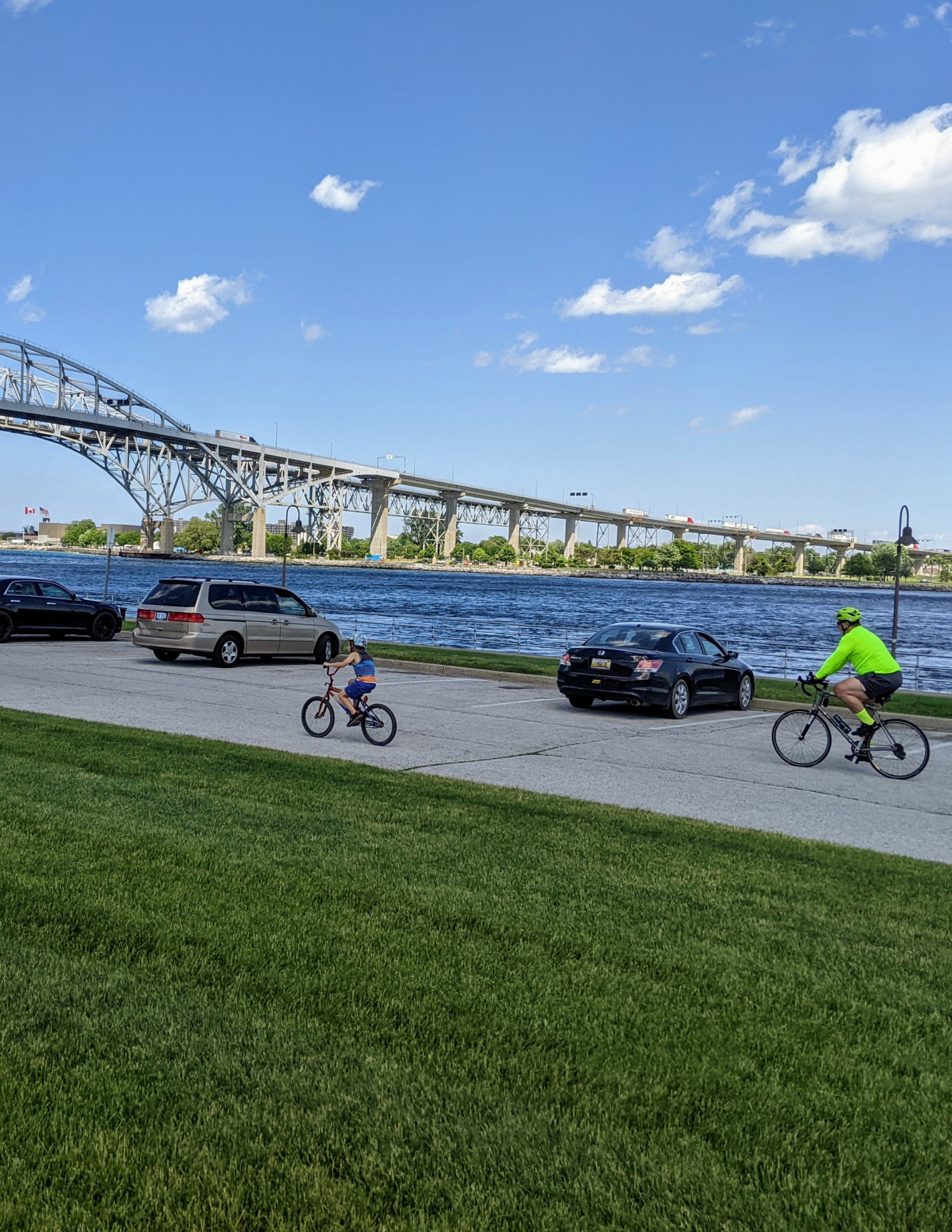
  • Unrestricted waterfront views of freighters and the Blue Water Bridge
  • Opportunity to extend your trip south to Downtown Port Huron where you can dine and shop along the St Clair River and Black River
  • Opportunity to extend your trip north to Fort Gratiot shopping area and the Fort Gratiot Trail System
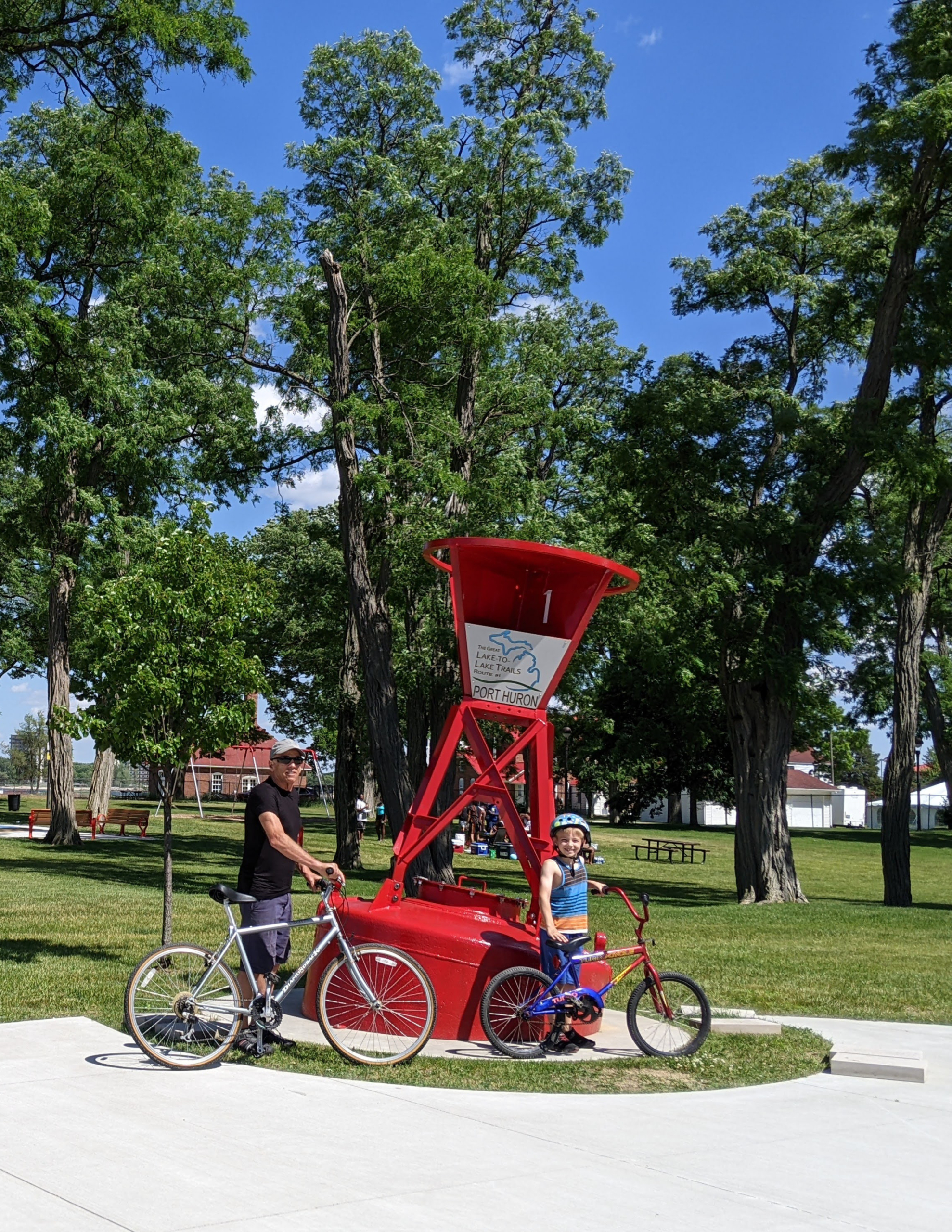
  • Visit the Port Huron Trail Town Page to learn more

Parking and Trail Access

Bluewater Bridge Park – 2520 Wright St, Port Huron, MI 48060
Access the parking lot from wright St, just north of the Blue Water Bridge. The bike route follows Wright Street north and Thomas Edison Parkway to the south. Amenities include restrooms.

Overflow parking available at Thomas Edison Park or Pine Grove Park. Paid Parking available at Lighthouse Park and Lakeside Park.

How to Use This Map: Click the tab in the top left hand corner of the map to view the layers. You can click the check marks to hide or show layers. If you click the icons on the map, you can get more information about each point of interest.  If you click the star next to the title of the map, this map will be added to your Google Maps account. To view it on your phone or computer, open Google Maps, click the menu button, go to “Your Places,” click Maps, and you will see this map on your list.

Bikeway Legend: