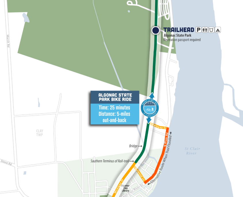
Due to recent high water and flooding, sections of the trail may be closed. An alternative route is available using St Clair River Drive/M-29, but please note there are no designated bicycle facilities on the alternative route.

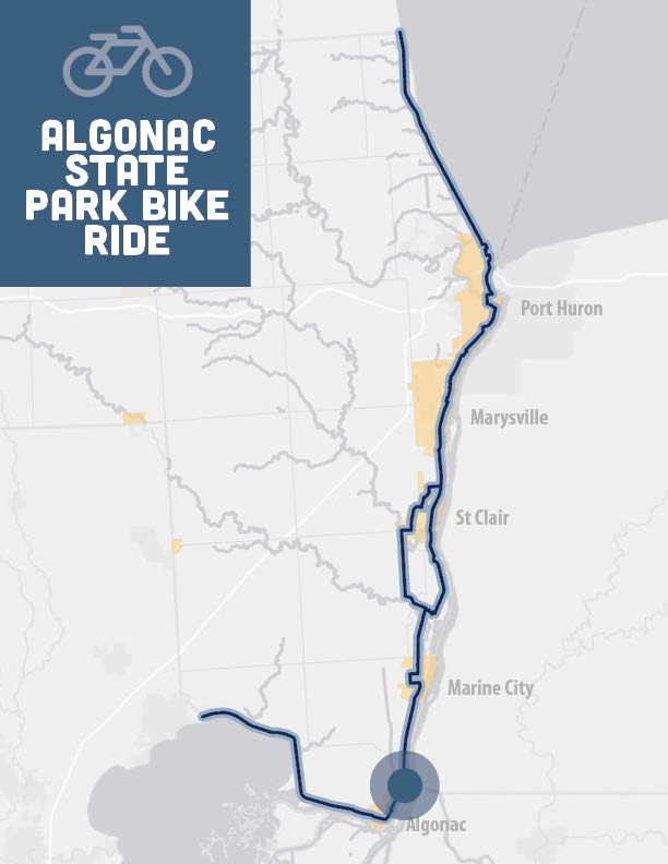
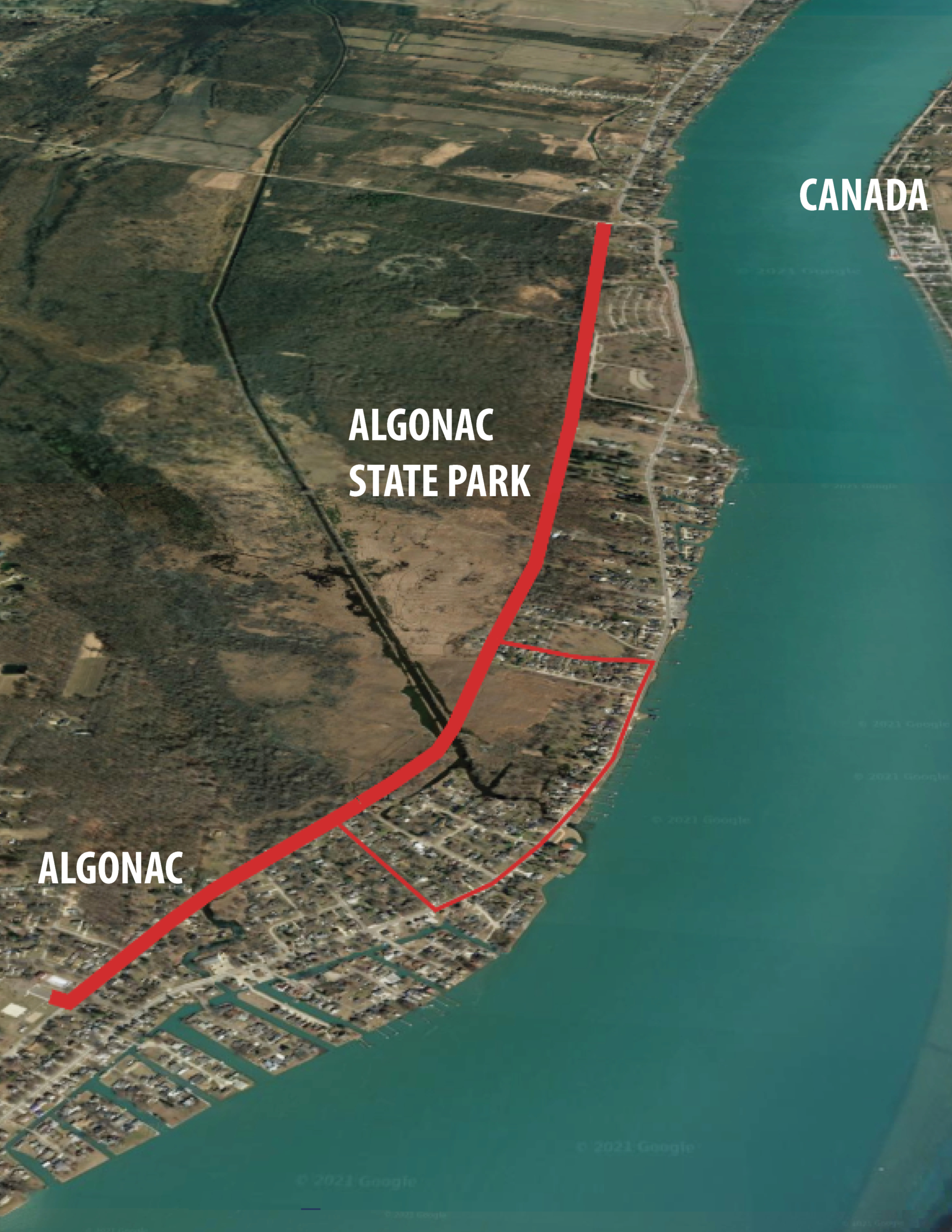
Overview: Out-and-back, family-friendly trail, connecting the City of Algonac to Algonac State Park

Time: 25 minutes

Distance: 5-miles out-and-back

Level: Easy

Trail Surface: Asphalt/Concrete

Ride with GPS: 
https://ridewithgps.com/routes/36612116

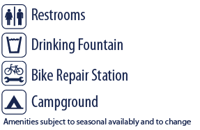
For seasonal amenities in Algonac State Park please visit the DNR Website

The entire bike ride consists of OFF-ROAD TRAILS and LOCAL ROAD ROUTES

Highlights

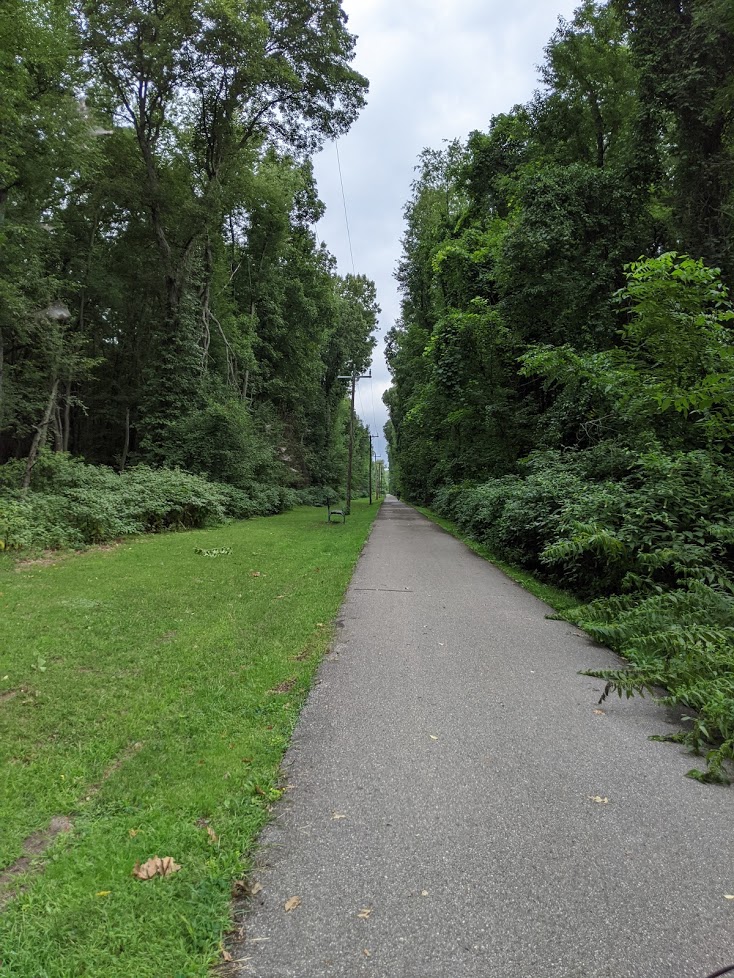
  • Family-friendly rail-trail through marsh and woodland area
  • Camping available at Algonac State Park
  • Opportunity to visit the City of Algonac and enjoy the waterfront park, dining, shopping and museums
  • Ice Cream just a few blocks off trail in Algonac – take Michigan Ave 1/2 mile south to Smith St and turn left, make a right at St Clair River Dr/M-29 and the Dairy Queen will be on your left
  • Visit the Algonac Trail Town Page to learn more.

Parking and Trail Access

Algonac Lions Field Park – 1833 Michigan St, Algonac, MI 48001
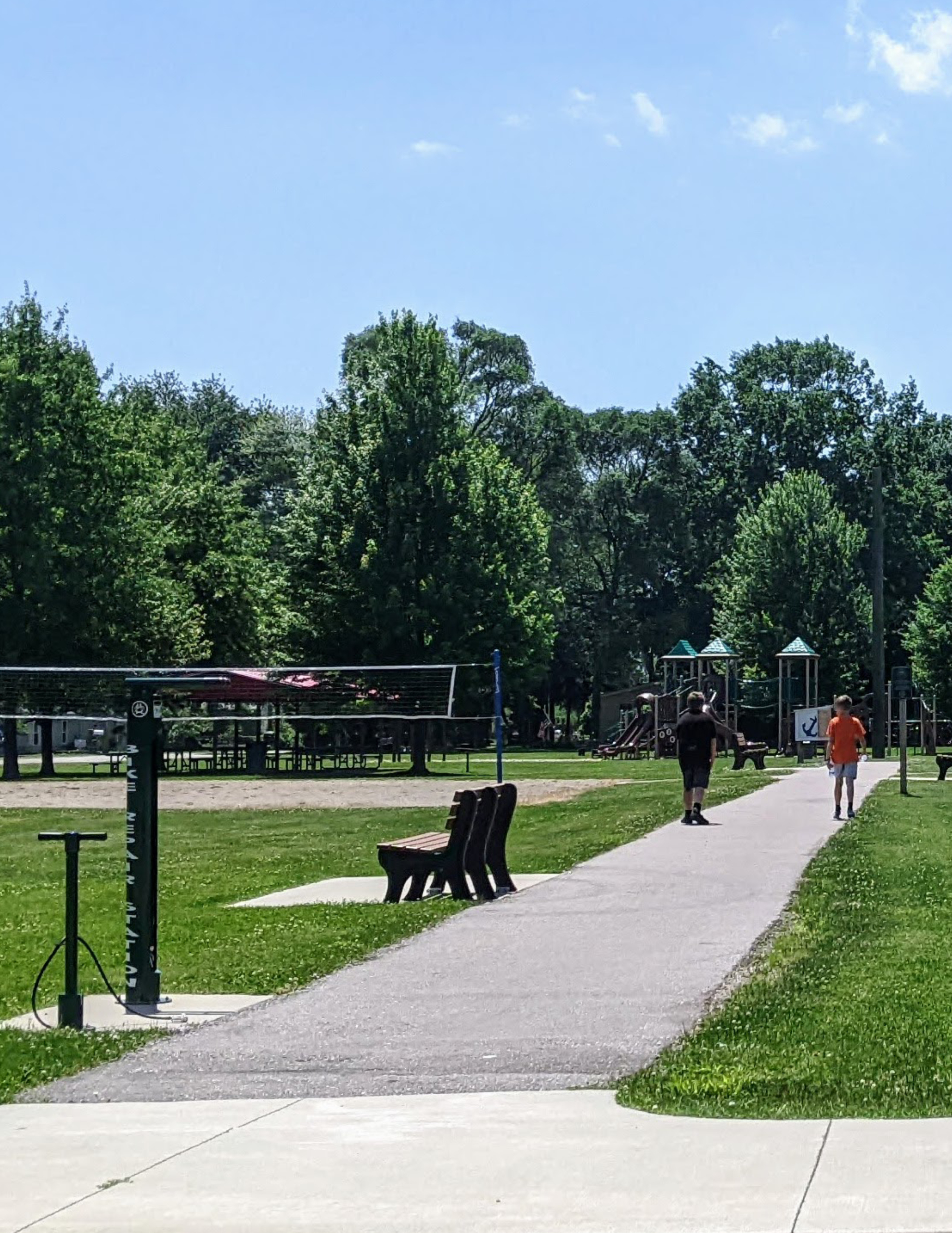
Access to the parking lot is near the corner of Michigan Street and Dixie Blvd, one block west of M-29. Access the trail by following the Michigan Ave north, about 1/2 a mile where it dead-ends into a shared use pathway. Amenities include drinking fountain, bike repair station and restrooms.

Alternatively, trail parking is available at Algonac State Park but a recreation passport is required for entry. Click here for more details.

How to Use This Map: Click the tab in the top left hand corner of the map to view the layers. You can click the check marks to hide or show layers. If you click the icons on the map, you can get more information about each point of interest.  If you click the star next to the title of the map, this map will be added to your Google Maps account. To view it on your phone or computer, open Google Maps, click the menu button, go to “Your Places,” click Maps, and you will see this map on your list.

Bikeway Legend: